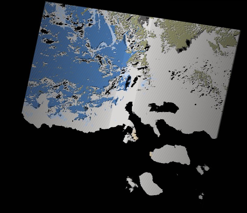
wofs_ls_202054_2017-10-31.stac-item
dataset of product wofs_ls
Indexed by odc_writer
,
created
Region
202054
for
31st October 2017
Fields 🔗
cloud_cover
73.0
collection_category
T1
creation_time
2021-09-01 04:45:12
crs_raw
•
data_coverage
•
dataset_version
1.0.0
eo_gsd
30.0
eo_sun_azimuth
137.601
eo_sun_elevation
59.049
format
GeoTIFF
id
9aa19ce1-4c0f-5421-848d-6f692924b351
instrument
ETM
label
•
lat
7.745 to 9.615
lon
-14.385 to -12.298
platform
landsat-7
product_family
wofs
region
•
region_code
202054
rmse
4.199
rmse_x
3.106
rmse_y
2.825
sat_orbit_state
•
sat_relative_orbit
•
time
2017-10-31 11:13:09 to 2017-10-31 11:13:09
Related Datasets 🔗
wofs_ls_202054_2017-10-31.stac-item