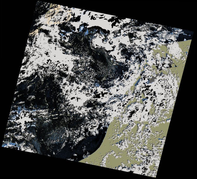
wofs_ls_205041_2018-02-01.stac-item
dataset of product wofs_ls
Indexed by odc_writer
,
created
Region
205041
for
1st February 2018
Fields 🔗
cloud_cover
43.51
collection_category
T1
creation_time
2021-09-01 01:11:35
crs_raw
•
data_coverage
•
dataset_version
1.0.0
eo_gsd
30.0
eo_sun_azimuth
147.383
eo_sun_elevation
38.863
format
GeoTIFF
id
9a79eb45-c861-5164-9273-cd56eaccfd7a
instrument
OLI_TIRS
label
•
lat
26.378 to 28.474
lon
-14.724 to -12.455
platform
landsat-8
product_family
wofs
region
•
region_code
205041
rmse
8.611
rmse_x
5.75
rmse_y
6.41
sat_orbit_state
•
sat_relative_orbit
•
time
2018-02-01 11:23:45 to 2018-02-01 11:23:45
Related Datasets 🔗
wofs_ls_205041_2018-02-01.stac-item