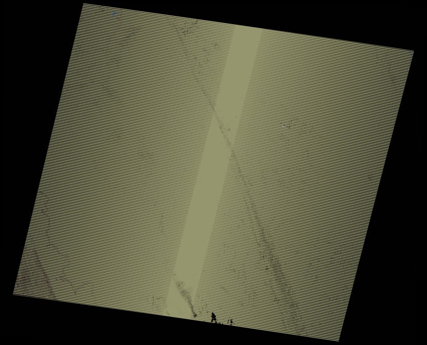
wofs_ls_177041_2005-02-01.stac-item
dataset of product wofs_ls
Indexed by odc_writer
,
created
Region
177041
for
1st February 2005
Fields 🔗
cloud_cover
0.0
collection_category
T1
creation_time
2021-09-01 02:06:59
crs_raw
•
data_coverage
•
dataset_version
1.0.0
eo_gsd
30.0
eo_sun_azimuth
144.573
eo_sun_elevation
37.541
format
GeoTIFF
id
99282bf6-1664-5752-b651-eb4fb89d93cb
instrument
ETM
label
•
lat
26.485 to 28.383
lon
28.524 to 30.781
platform
landsat-7
product_family
wofs
region
•
region_code
177041
rmse
4.158
rmse_x
2.973
rmse_y
2.907
sat_orbit_state
•
sat_relative_orbit
•
time
2005-02-01 08:20:18 to 2005-02-01 08:20:18
Related Datasets 🔗
wofs_ls_177041_2005-02-01.stac-item