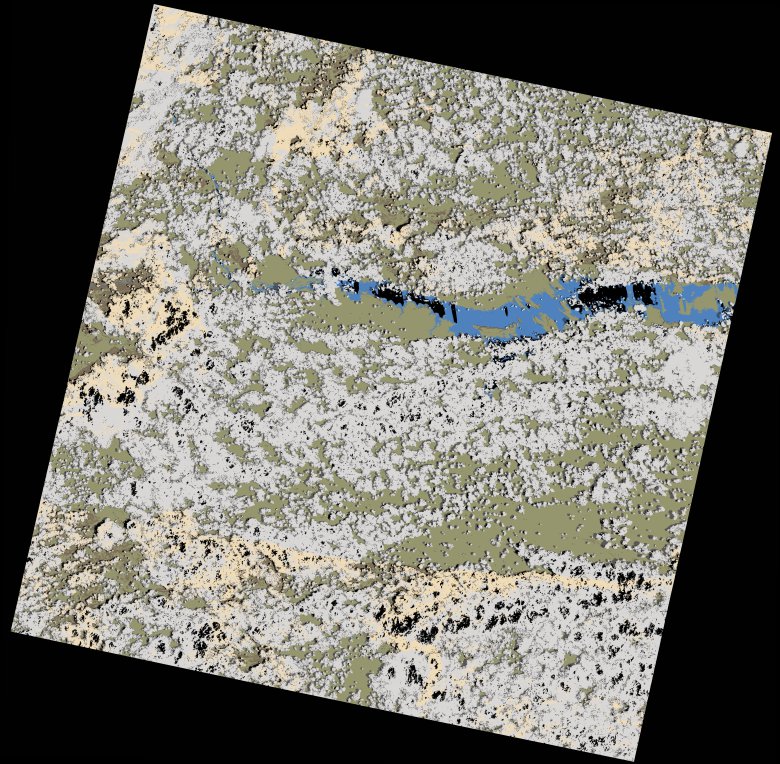
wofs_ls_170071_2023-01-01.stac-item
dataset of product wofs_ls
Indexed by odc_writer
,
created
Region
170071
for
1st January 2023
Fields 🔗
cloud_cover
55.31
collection_category
T1
creation_time
2023-01-03 07:02:56
crs_raw
•
data_coverage
•
dataset_version
1.0.0
eo_gsd
30.0
eo_sun_azimuth
108.908
eo_sun_elevation
60.906
format
GeoTIFF
id
990d839b-8ac0-58bf-933f-7542fbab2941
instrument
OLI_TIRS
label
•
lat
-16.947 to -14.859
lon
29.805 to 31.903
platform
landsat-9
product_family
wofs
region
•
region_code
170071
rmse
8.5
rmse_x
5.075
rmse_y
6.818
sat_orbit_state
•
sat_relative_orbit
•
time
2023-01-01 07:59:59 to 2023-01-01 07:59:59
Related Datasets 🔗
wofs_ls_170071_2023-01-01.stac-item