Fields 🔗
cloud_cover
4.0
collection_category
T1
creation_time
2022-01-21 02:06:54
crs_raw
•
data_coverage
•
dataset_version
1.1.0
eo_gsd
30.0
eo_sun_azimuth
147.066
eo_sun_elevation
35.576
format
GeoTIFF
id
9904fa60-5377-594a-9cc4-103ea44f4664
instrument
TM
label
•
lat
36.495 to 38.408
lon
4.96 to 7.507
platform
landsat-5
product_family
fc
region
•
region_code
194034
rmse
10.577
rmse_x
7.306
rmse_y
7.648
sat_orbit_state
•
sat_relative_orbit
•
time
1996-10-21 09:32:43 to 1996-10-21 09:32:43
Related Datasets 🔗
Location 🔗
s3://deafrica-services/fc_ls/1-1-0/194/034/1996/10/21/fc_ls_194034_1996-10-21.stac-item.json
| bs | fc_ls_194034_1996-10-21_bs.tif |
|---|---|
| checksum:sha1 | fc_ls_194034_1996-10-21.sha1 |
| metadata:processor | fc_ls_194034_1996-10-21.proc-info.yaml |
| npv | fc_ls_194034_1996-10-21_npv.tif |
| pv | fc_ls_194034_1996-10-21_pv.tif |
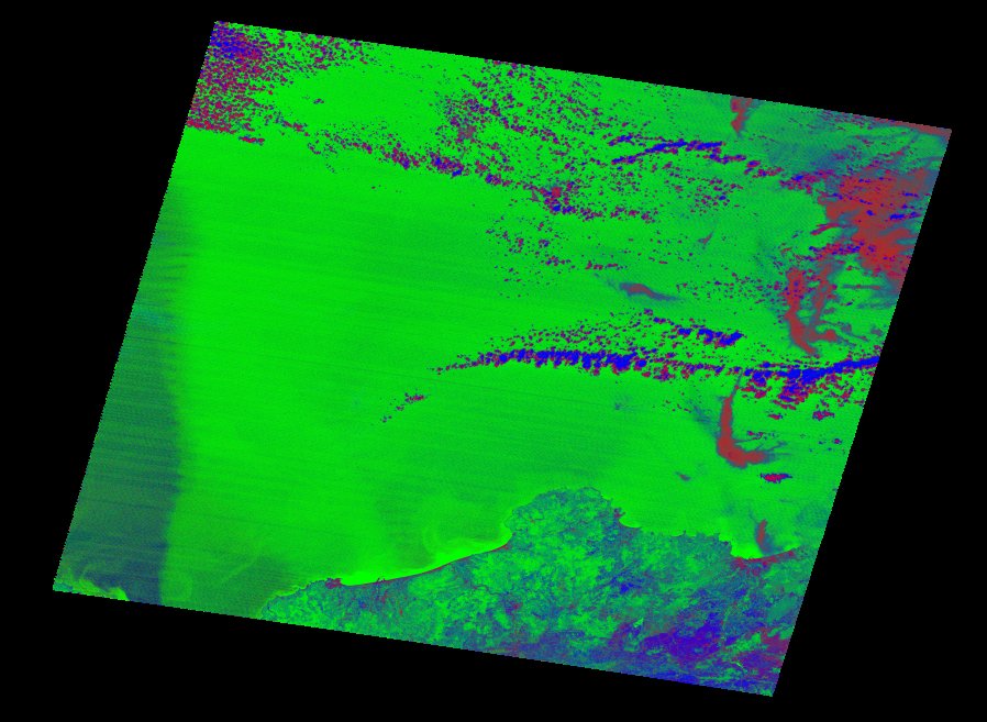
| thumbnail | fc_ls_194034_1996-10-21_thumbnail.jpg |
| ue | fc_ls_194034_1996-10-21_ue.tif |