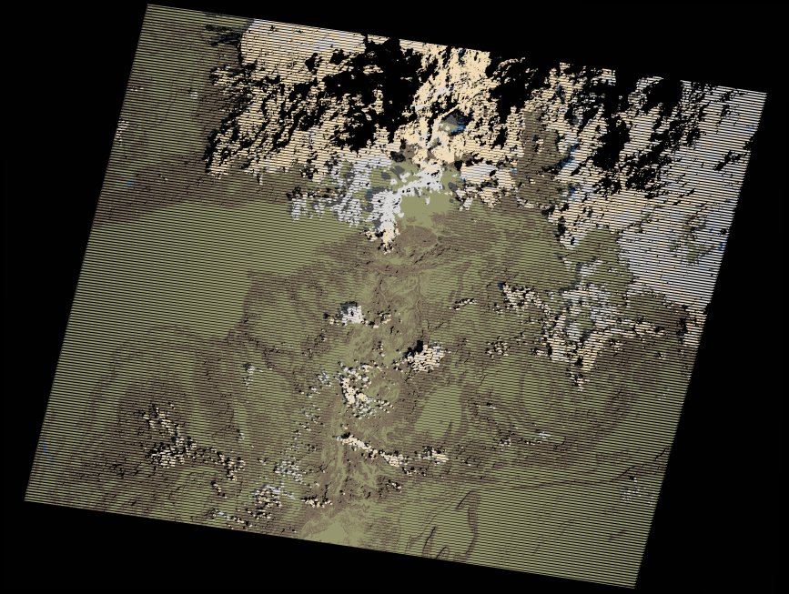
wofs_ls_202039_2021-02-28.stac-item
dataset of product wofs_ls
Indexed by odc_writer
,
created
Region
202039
for
28th February 2021
Fields 🔗
cloud_cover
24.0
collection_category
T1
creation_time
2021-09-01 04:40:07
crs_raw
•
data_coverage
•
dataset_version
1.0.0
eo_gsd
30.0
eo_sun_azimuth
131.1
eo_sun_elevation
38.059
format
GeoTIFF
id
94d22017-879b-5174-910b-db753071a860
instrument
ETM
label
•
lat
29.372 to 31.266
lon
-9.552 to -7.136
platform
landsat-7
product_family
wofs
region
•
region_code
202039
rmse
4.305
rmse_x
2.498
rmse_y
3.506
sat_orbit_state
•
sat_relative_orbit
•
time
2021-02-28 10:18:45 to 2021-02-28 10:18:45
Related Datasets 🔗
wofs_ls_202039_2021-02-28.stac-item