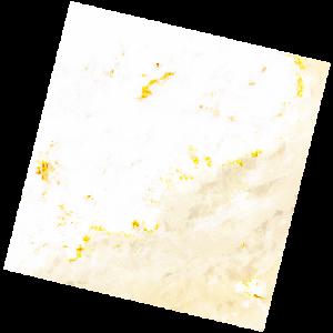
LC09_L2SP_192040_20221210_20221212_02_T1_SR_stac
dataset of product ls9_sr
Indexed by odc_writer
,
created
Region
192040
for
10th December 2022
Fields 🔗
cloud_cover
64.52
collection_category
T1
creation_time
2022-12-10 10:03:35
crs_raw
•
data_coverage
•
dataset_version
•
eo_gsd
•
eo_sun_azimuth
156.998
eo_sun_elevation
34.589
format
GeoTIFF
id
9372f361-af52-5d56-8909-93fdcf428f01
instrument
OLI_TIRS
label
•
lat
27.814 to 29.911
lon
5.689 to 7.998
platform
LANDSAT_9
product_family
•
region
•
region_code
192040
rmse
7.056
rmse_x
5.19
rmse_y
4.78
sat_orbit_state
•
sat_relative_orbit
•
time
2022-12-10 10:03:35 to 2022-12-10 10:03:35
Related Datasets 🔗
LC09_L2SP_192040_20221210_20221212_02_T1_SR_stac