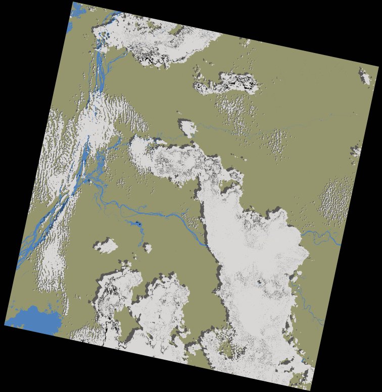
wofs_ls_180060_2024-01-26.stac-item
dataset of product wofs_ls
Indexed by odc_writer
,
created
Region
180060
for
26th January 2024
Fields 🔗
cloud_cover
28.41
collection_category
T1
creation_time
2024-02-23 05:23:39
crs_raw
•
data_coverage
•
dataset_version
1.0.0
eo_gsd
30.0
eo_sun_azimuth
124.288
eo_sun_elevation
55.104
format
GeoTIFF
id
918310f6-fb18-56ec-92a0-696f414154f4
instrument
OLI_TIRS
label
•
lat
-1.048 to 1.039
lon
17.842 to 19.85
platform
landsat-9
product_family
wofs
region
•
region_code
180060
rmse
7.99
rmse_x
5.385
rmse_y
5.902
sat_orbit_state
•
sat_relative_orbit
•
time
2024-01-26 08:57:11 to 2024-01-26 08:57:11
Related Datasets 🔗
wofs_ls_180060_2024-01-26.stac-item