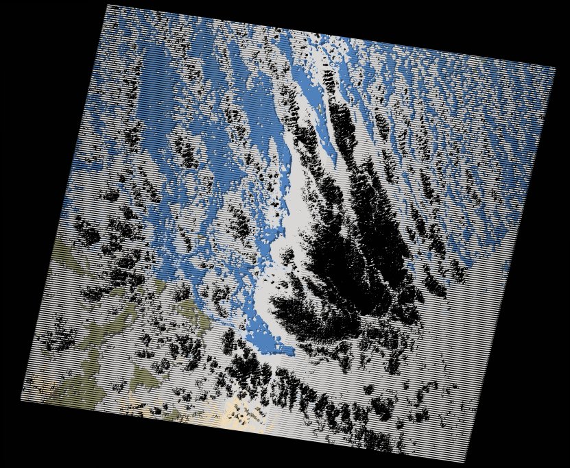
wofs_ls_170047_2020-02-10.stac-item
dataset of product wofs_ls
Indexed by odc_writer
,
created
Region
170047
for
10th February 2020
Fields 🔗
cloud_cover
71.0
collection_category
T1
creation_time
2021-09-01 01:55:12
crs_raw
•
data_coverage
•
dataset_version
1.0.0
eo_gsd
30.0
eo_sun_azimuth
133.399
eo_sun_elevation
43.495
format
GeoTIFF
id
8e8e3aae-566f-51df-a8cd-bfb79132d2f6
instrument
ETM
label
•
lat
17.86 to 19.729
lon
37.273 to 39.461
platform
landsat-7
product_family
wofs
region
•
region_code
170047
rmse
4.208
rmse_x
3.297
rmse_y
2.614
sat_orbit_state
•
sat_relative_orbit
•
time
2020-02-10 07:28:50 to 2020-02-10 07:28:50
Related Datasets 🔗
wofs_ls_170047_2020-02-10.stac-item