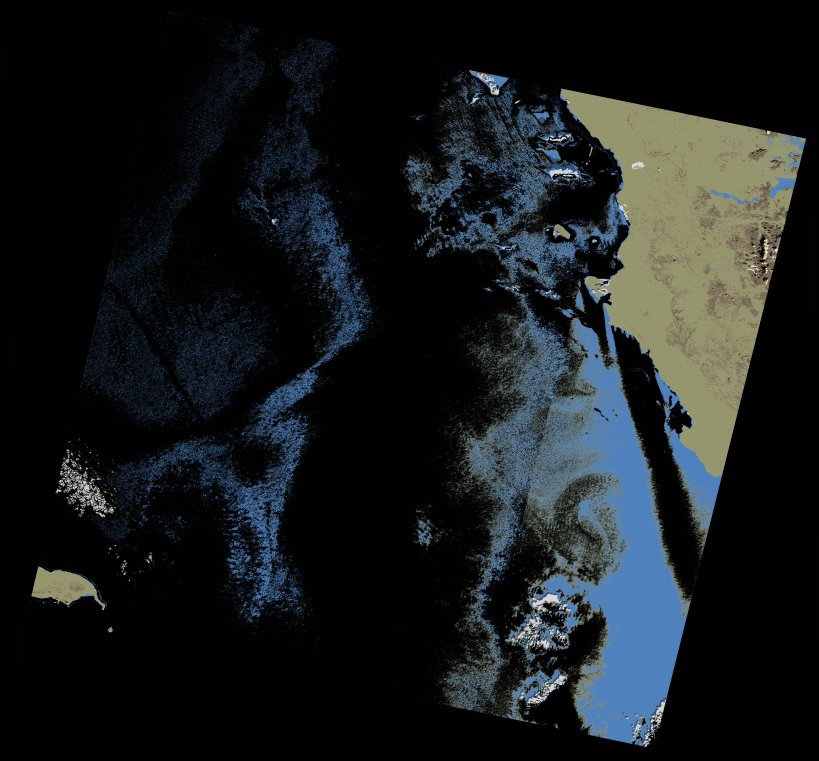
wofs_ls_172043_2022-01-12.stac-item
dataset of product wofs_ls
Indexed by odc_writer
,
created
Region
172043
for
12th January 2022
Fields 🔗
cloud_cover
0.47
collection_category
T1
creation_time
2023-05-02 07:29:53
crs_raw
•
data_coverage
•
dataset_version
1.0.0
eo_gsd
30.0
eo_sun_azimuth
150.028
eo_sun_elevation
37.751
format
GeoTIFF
id
8e2ad6d3-e580-5fbb-8ae1-ec86af4188a2
instrument
OLI_TIRS
label
•
lat
23.5 to 25.594
lon
35.568 to 37.784
platform
landsat-9
product_family
wofs
region
•
region_code
172043
rmse
5.548
rmse_x
3.29
rmse_y
4.468
sat_orbit_state
•
sat_relative_orbit
•
time
2022-01-12 08:00:58 to 2022-01-12 08:00:58
Related Datasets 🔗
wofs_ls_172043_2022-01-12.stac-item