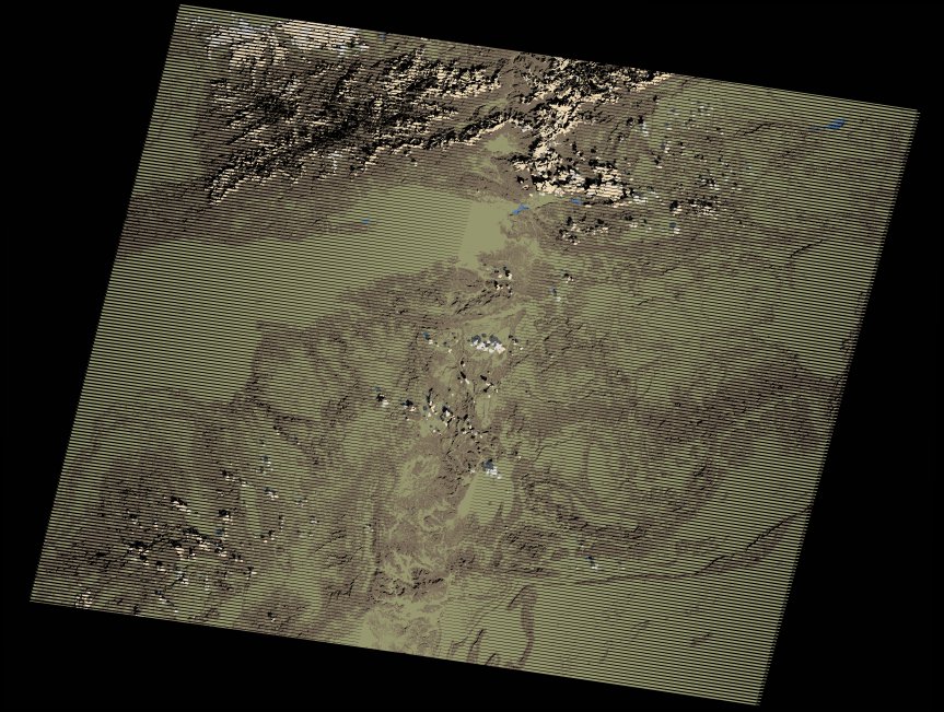
wofs_ls_202039_2017-02-01.stac-item
dataset of product wofs_ls
Indexed by odc_writer
,
created
Region
202039
for
1st February 2017
Fields 🔗
cloud_cover
2.0
collection_category
T1
creation_time
2021-09-01 05:31:37
crs_raw
•
data_coverage
•
dataset_version
1.0.0
eo_gsd
30.0
eo_sun_azimuth
149.598
eo_sun_elevation
36.941
format
GeoTIFF
id
8b27792b-4702-5222-af2f-e7c8635e5c10
instrument
ETM
label
•
lat
29.368 to 31.256
lon
-9.44 to -7.037
platform
landsat-7
product_family
wofs
region
•
region_code
202039
rmse
4.364
rmse_x
2.819
rmse_y
3.331
sat_orbit_state
•
sat_relative_orbit
•
time
2017-02-01 11:06:32 to 2017-02-01 11:06:32
Related Datasets 🔗
wofs_ls_202039_2017-02-01.stac-item