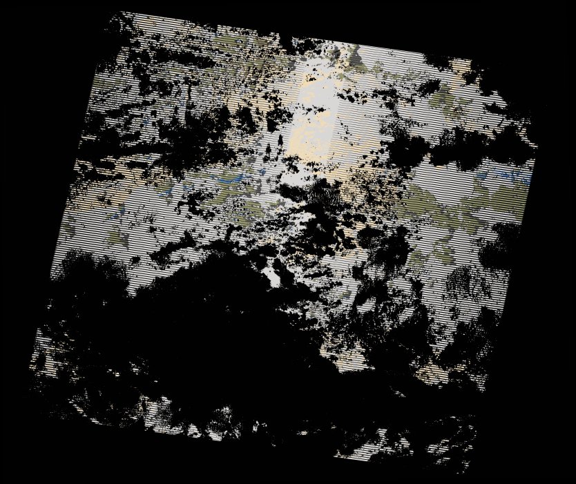
wofs_ls_171071_2022-11-15.stac-item
dataset of product wofs_ls
Indexed by odc_writer
,
created
Region
171071
for
15th November 2022
Fields 🔗
cloud_cover
89.0
collection_category
T2
creation_time
2022-12-11 13:33:27
crs_raw
•
data_coverage
•
dataset_version
1.0.0
eo_gsd
30.0
eo_sun_azimuth
100.875
eo_sun_elevation
41.157
format
GeoTIFF
id
88ee2622-022a-5207-b388-49bada6e7e68
instrument
ETM
label
•
lat
-16.835 to -14.974
lon
28.794 to 30.943
platform
landsat-7
product_family
wofs
region
•
region_code
171071
rmse
nan
rmse_x
nan
rmse_y
nan
sat_orbit_state
•
sat_relative_orbit
•
time
2022-11-15 06:20:10 to 2022-11-15 06:20:10
Related Datasets 🔗
wofs_ls_171071_2022-11-15.stac-item