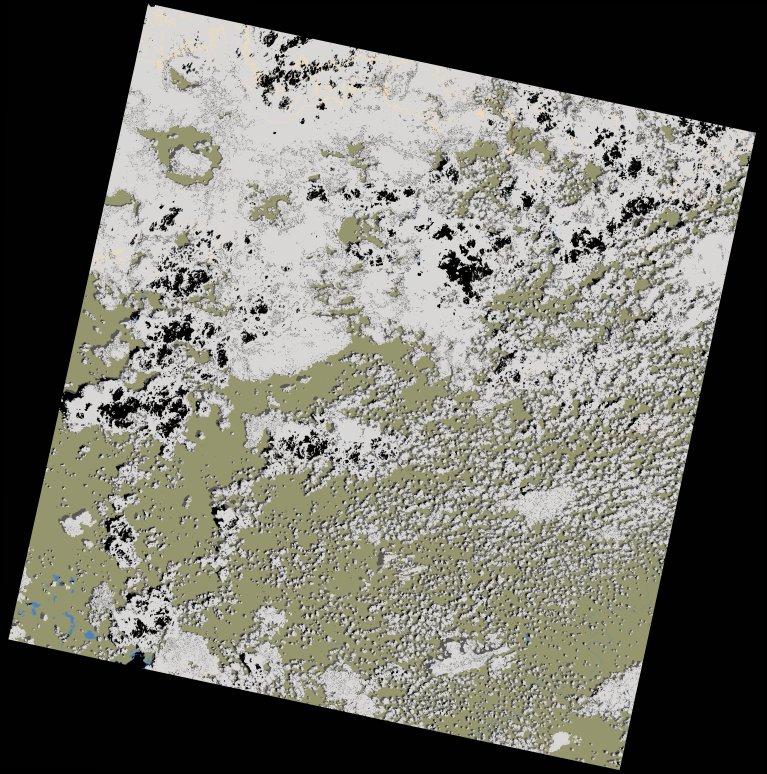
wofs_ls_171067_2020-12-09.stac-item
dataset of product wofs_ls
Indexed by odc_writer
,
created
Region
171067
for
9th December 2020
Fields 🔗
cloud_cover
51.6
collection_category
T1
creation_time
2021-09-01 01:04:38
crs_raw
•
data_coverage
•
dataset_version
1.0.0
eo_gsd
30.0
eo_sun_azimuth
120.105
eo_sun_elevation
61.736
format
GeoTIFF
id
879520b5-7528-594a-a959-11b99506f5e1
instrument
OLI_TIRS
label
•
lat
-11.167 to -9.08
lon
29.569 to 31.606
platform
landsat-8
product_family
wofs
region
•
region_code
171067
rmse
8.047
rmse_x
5.392
rmse_y
5.973
sat_orbit_state
•
sat_relative_orbit
•
time
2020-12-09 08:04:28 to 2020-12-09 08:04:28
Related Datasets 🔗
wofs_ls_171067_2020-12-09.stac-item