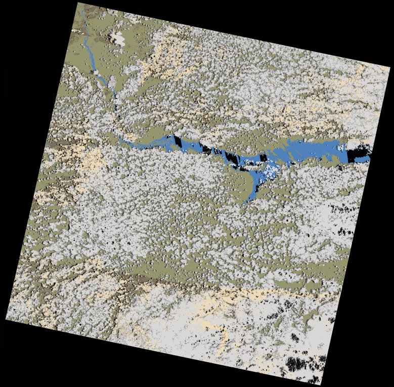
wofs_ls_170071_2023-02-02.stac-item
dataset of product wofs_ls
Indexed by odc_writer
,
created
Region
170071
for
2nd February 2023
Fields 🔗
cloud_cover
51.48
collection_category
T1
creation_time
2023-02-04 05:33:19
crs_raw
•
data_coverage
•
dataset_version
1.0.0
eo_gsd
30.0
eo_sun_azimuth
96.414
eo_sun_elevation
58.772
format
GeoTIFF
id
870a15ee-b88b-5199-a034-f4eb5d471a2f
instrument
OLI_TIRS
label
•
lat
-16.947 to -14.859
lon
29.78 to 31.877
platform
landsat-9
product_family
wofs
region
•
region_code
170071
rmse
8.498
rmse_x
5.701
rmse_y
6.301
sat_orbit_state
•
sat_relative_orbit
•
time
2023-02-02 08:00:00 to 2023-02-02 08:00:00
Related Datasets 🔗
wofs_ls_170071_2023-02-02.stac-item