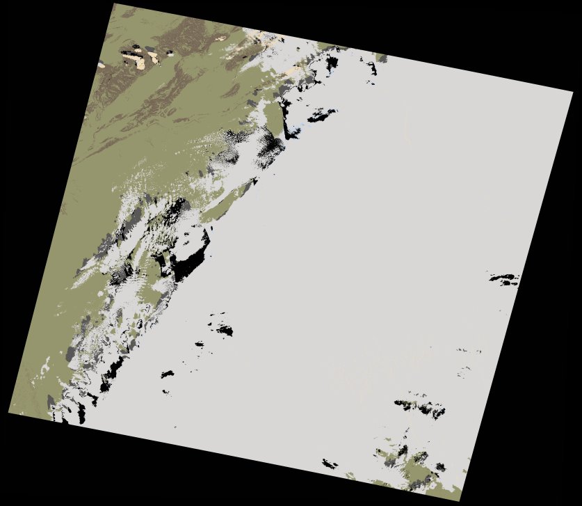
wofs_ls_197038_2022-10-10.stac-item
dataset of product wofs_ls
Indexed by odc_writer
,
created
Region
197038
for
10th October 2022
Fields 🔗
cloud_cover
65.55
collection_category
T1
creation_time
2022-10-12 08:11:59
crs_raw
•
data_coverage
•
dataset_version
1.0.0
eo_gsd
30.0
eo_sun_azimuth
152.12
eo_sun_elevation
47.686
format
GeoTIFF
id
851a9a89-a9ae-5e5e-b66e-75f11ba6a4de
instrument
OLI_TIRS
label
•
lat
30.685 to 32.785
lon
-1.317 to 1.066
platform
landsat-9
product_family
wofs
region
•
region_code
197038
rmse
6.015
rmse_x
4.308
rmse_y
4.197
sat_orbit_state
•
sat_relative_orbit
•
time
2022-10-10 10:33:38 to 2022-10-10 10:33:38
Related Datasets 🔗
wofs_ls_197038_2022-10-10.stac-item
... 10 more