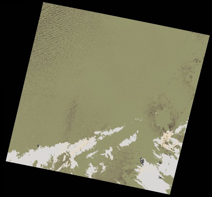
wofs_ls_187043_2021-12-04.stac-item
dataset of product wofs_ls
Indexed by odc_writer
,
created
Region
187043
for
4th December 2021
Fields 🔗
cloud_cover
0.32
collection_category
T1
creation_time
2023-05-04 16:40:44
crs_raw
•
data_coverage
•
dataset_version
1.0.0
eo_gsd
30.0
eo_sun_azimuth
155.168
eo_sun_elevation
39.051
format
GeoTIFF
id
833440bf-6093-5a35-8250-e62305d151d4
instrument
OLI_TIRS
label
•
lat
23.5 to 25.594
lon
12.357 to 14.572
platform
landsat-9
product_family
wofs
region
•
region_code
187043
rmse
5.158
rmse_x
4.487
rmse_y
2.544
sat_orbit_state
•
sat_relative_orbit
•
time
2021-12-04 09:33:50 to 2021-12-04 09:33:50
Related Datasets 🔗
wofs_ls_187043_2021-12-04.stac-item