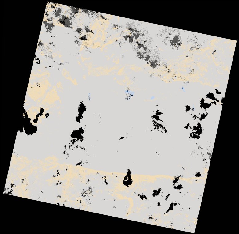
wofs_ls_170071_2023-01-17.stac-item
dataset of product wofs_ls
Indexed by odc_writer
,
created
Region
170071
for
17th January 2023
Fields 🔗
cloud_cover
97.78
collection_category
T2
creation_time
2023-03-13 20:43:05
crs_raw
•
data_coverage
•
dataset_version
1.0.0
eo_gsd
30.0
eo_sun_azimuth
104.078
eo_sun_elevation
59.63
format
GeoTIFF
id
82e7f842-53c4-59c0-a4c0-5720835fa9cc
instrument
OLI_TIRS
label
•
lat
-16.948 to -14.859
lon
29.825 to 31.922
platform
landsat-9
product_family
wofs
region
•
region_code
170071
rmse
nan
rmse_x
nan
rmse_y
nan
sat_orbit_state
•
sat_relative_orbit
•
time
2023-01-17 07:59:52 to 2023-01-17 07:59:52
Related Datasets 🔗
wofs_ls_170071_2023-01-17.stac-item