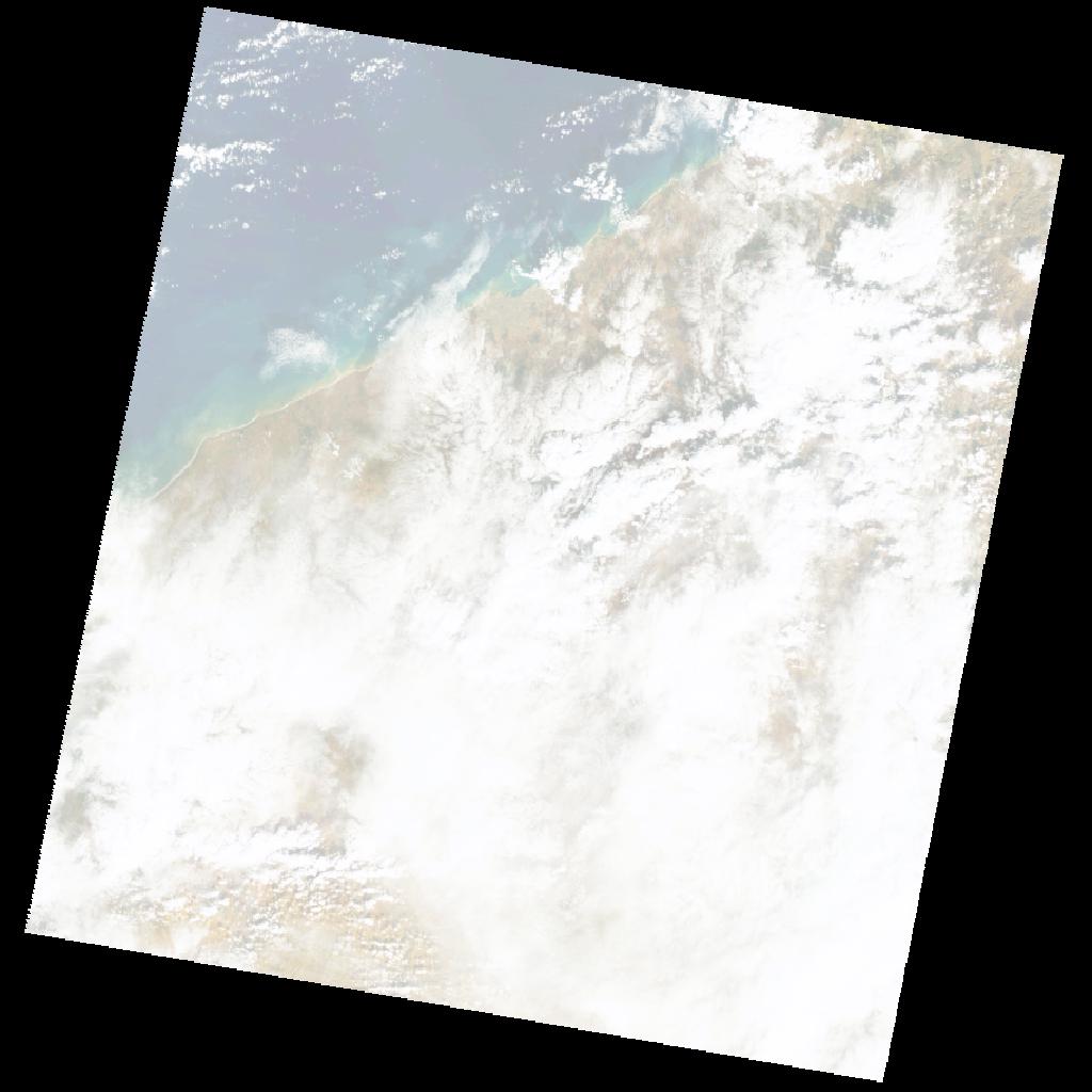
LT05_L2SP_202037_19891127_20211121_02_T2_SR_stac
dataset of product ls5_sr
Indexed by odc_writer
,
created
Region
202037
for
27th November 1989
Fields 🔗
cloud_cover
68.0
collection_category
T2
creation_time
1989-11-27 10:27:42
crs_raw
•
data_coverage
•
dataset_version
•
eo_gsd
•
eo_sun_azimuth
150.267
eo_sun_elevation
29.67
format
GeoTIFF
id
829e78af-2a17-552e-b529-30a75cedb69d
instrument
TM
label
•
lat
32.23 to 34.114
lon
-8.717 to -6.329
platform
LANDSAT_5
product_family
•
region
•
region_code
202037
rmse
12.024
rmse_x
8.075
rmse_y
8.909
sat_orbit_state
•
sat_relative_orbit
•
time
1989-11-27 10:27:42 to 1989-11-27 10:27:42
Related Datasets 🔗
LT05_L2SP_202037_19891127_20211121_02_T2_SR_stac