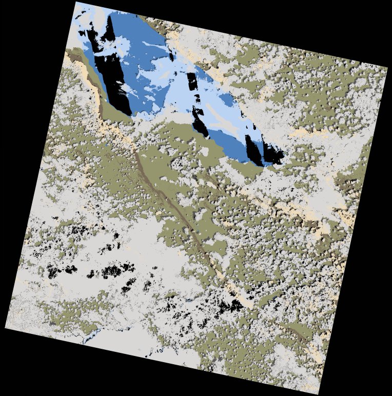
wofs_ls_170066_2022-11-30.stac-item
dataset of product wofs_ls
Indexed by odc_writer
,
created
Region
170066
for
30th November 2022
Fields 🔗
cloud_cover
51.86
collection_category
T1
creation_time
2022-12-02 07:29:52
crs_raw
•
data_coverage
•
dataset_version
1.0.0
eo_gsd
30.0
eo_sun_azimuth
121.015
eo_sun_elevation
62.501
format
GeoTIFF
id
80392b26-7547-538f-8e92-0c135d5ee088
instrument
OLI_TIRS
label
•
lat
-9.723 to -7.637
lon
31.439 to 33.471
platform
landsat-9
product_family
wofs
region
•
region_code
170066
rmse
8.743
rmse_x
5.753
rmse_y
6.583
sat_orbit_state
•
sat_relative_orbit
•
time
2022-11-30 07:57:57 to 2022-11-30 07:57:57
Related Datasets 🔗
wofs_ls_170066_2022-11-30.stac-item