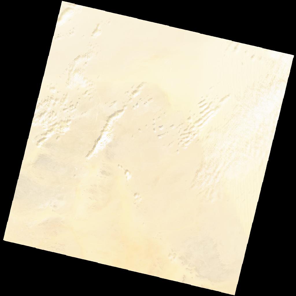
LC09_L2SP_180042_20211219_20230504_02_T1_SR_stac
dataset of product ls9_sr
Indexed by odc_writer
,
created
Region
180042
for
19th December 2021
Fields 🔗
cloud_cover
3.43
collection_category
T1
creation_time
2021-12-19 08:50:03
crs_raw
•
data_coverage
•
dataset_version
•
eo_gsd
•
eo_sun_azimuth
154.68
eo_sun_elevation
36.157
format
GeoTIFF
id
7eee1da8-dd8b-581a-b06e-e6b0b4540804
instrument
OLI_TIRS
label
•
lat
24.939 to 27.033
lon
23.543 to 25.787
platform
LANDSAT_9
product_family
•
region
•
region_code
180042
rmse
5.412
rmse_x
3.3
rmse_y
4.29
sat_orbit_state
•
sat_relative_orbit
•
time
2021-12-19 08:50:03 to 2021-12-19 08:50:03
Related Datasets 🔗
LC09_L2SP_180042_20211219_20230504_02_T1_SR_stac