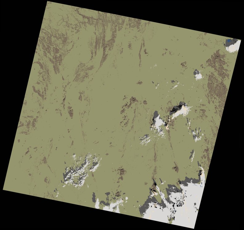
wofs_ls_193043_2021-11-13.stac-item
dataset of product wofs_ls
Indexed by odc_writer
,
created
Region
193043
for
13th November 2021
Fields 🔗
cloud_cover
4.65
collection_category
T1
creation_time
2023-05-06 14:02:28
crs_raw
•
data_coverage
•
dataset_version
1.0.0
eo_gsd
30.0
eo_sun_azimuth
154.434
eo_sun_elevation
43.43
format
GeoTIFF
id
7e1128c7-223e-5835-96d4-91ebc6647def
instrument
OLI_TIRS
label
•
lat
23.499 to 25.594
lon
3.443 to 5.637
platform
landsat-9
product_family
wofs
region
•
region_code
193043
rmse
4.446
rmse_x
3.097
rmse_y
3.19
sat_orbit_state
•
sat_relative_orbit
•
time
2021-11-13 10:09:10 to 2021-11-13 10:09:10
Related Datasets 🔗
wofs_ls_193043_2021-11-13.stac-item