wofs_ls_205041_2022-10-02.stac-item
dataset of product wofs_ls
Indexed by odc_writer
,
created
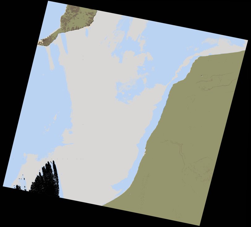
Region
205041
for
2nd October 2022
Fields 🔗
cloud_cover
67.69
collection_category
T1
creation_time
2022-10-04 06:09:15
crs_raw
•
data_coverage
•
dataset_version
1.0.0
eo_gsd
30.0
eo_sun_azimuth
145.226
eo_sun_elevation
53.456
format
GeoTIFF
id
7d2c77da-4af4-5921-98b6-9dcd8119be7d
instrument
OLI_TIRS
label
•
lat
26.377 to 28.473
lon
-14.745 to -12.468
platform
landsat-9
product_family
wofs
region
•
region_code
205041
rmse
5.887
rmse_x
3.65
rmse_y
4.618
sat_orbit_state
•
sat_relative_orbit
•
time
2022-10-02 11:24:14 to 2022-10-02 11:24:14
Related Datasets 🔗
wofs_ls_205041_2022-10-02.stac-item
... 1 more