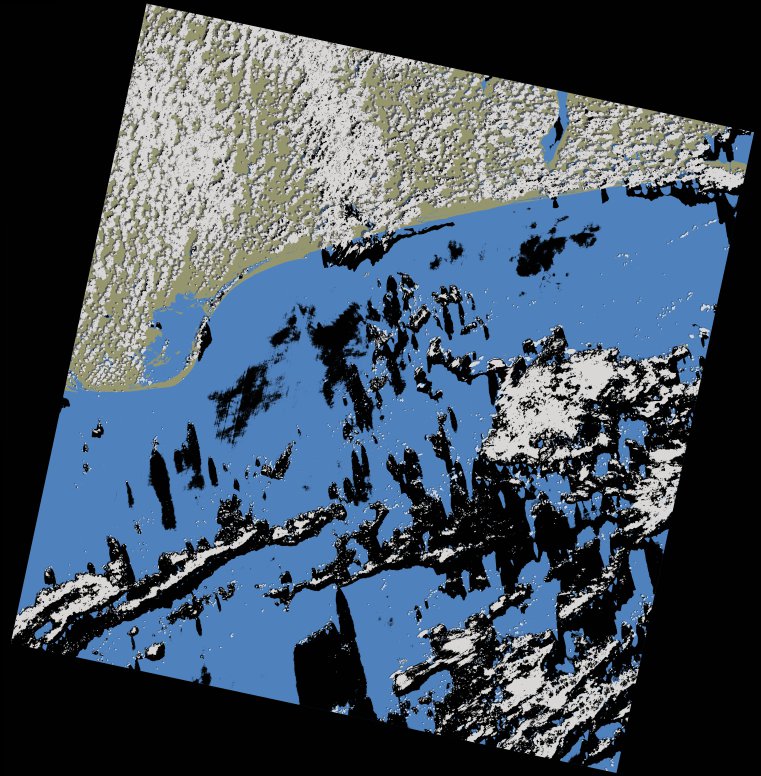
wofs_ls_192056_2023-02-12.stac-item
dataset of product wofs_ls
Indexed by odc_writer
,
created
Region
192056
for
12th February 2023
Fields 🔗
cloud_cover
21.34
collection_category
T1
creation_time
2023-02-14 09:03:02
crs_raw
•
data_coverage
•
dataset_version
1.0.0
eo_gsd
30.0
eo_sun_azimuth
123.827
eo_sun_elevation
54.778
format
GeoTIFF
id
795ede4e-376e-5719-82b5-9e9eeec775d9
instrument
OLI_TIRS
label
•
lat
4.737 to 6.824
lon
0.484 to 2.501
platform
landsat-9
product_family
wofs
region
•
region_code
192056
rmse
8.425
rmse_x
6.117
rmse_y
5.793
sat_orbit_state
•
sat_relative_orbit
•
time
2023-02-12 10:10:00 to 2023-02-12 10:10:00
Related Datasets 🔗
wofs_ls_192056_2023-02-12.stac-item