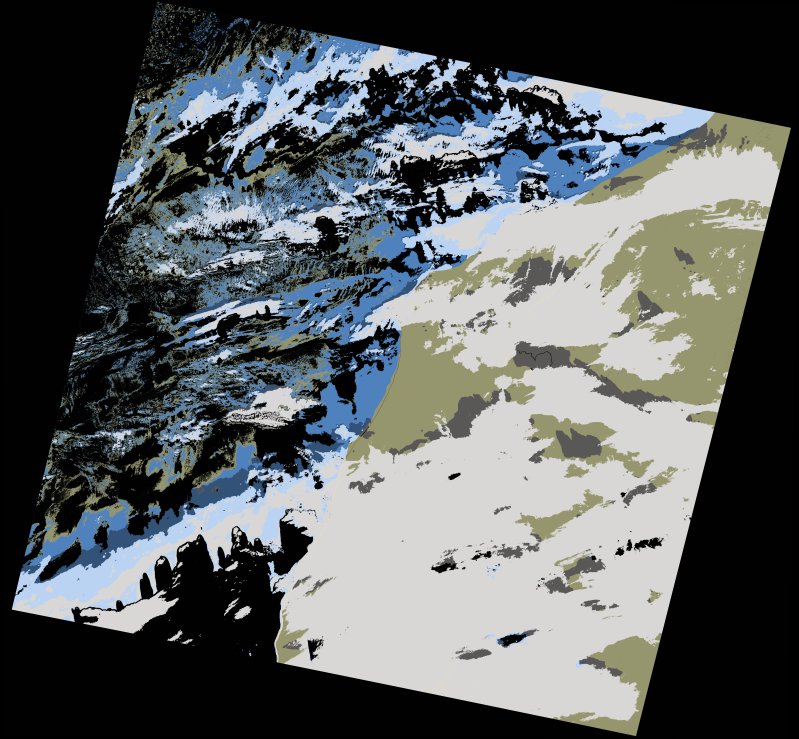
wofs_ls_205042_2021-11-10.stac-item
dataset of product wofs_ls
Indexed by odc_writer
,
created
Region
205042
for
10th November 2021
Fields 🔗
cloud_cover
35.28
collection_category
T1
creation_time
2023-05-06 18:59:27
crs_raw
•
data_coverage
•
dataset_version
1.0.0
eo_gsd
30.0
eo_sun_azimuth
154.959
eo_sun_elevation
42.985
format
GeoTIFF
id
789bf4c8-af40-5b33-9fe4-902850e0566a
instrument
OLI_TIRS
label
•
lat
24.938 to 27.034
lon
-15.598 to -13.373
platform
landsat-9
product_family
wofs
region
•
region_code
205042
rmse
4.989
rmse_x
3.501
rmse_y
3.555
sat_orbit_state
•
sat_relative_orbit
•
time
2021-11-10 11:26:13 to 2021-11-10 11:26:13
Related Datasets 🔗
wofs_ls_205042_2021-11-10.stac-item