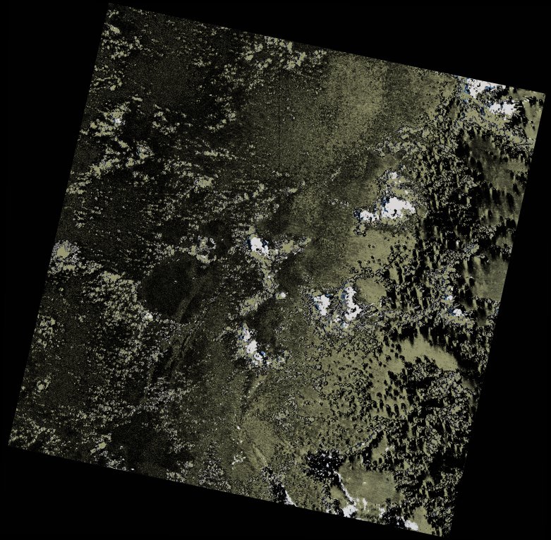
wofs_ls_155071_2023-02-09.stac-item
dataset of product wofs_ls
Indexed by odc_writer
,
created
Region
155071
for
9th February 2023
Fields 🔗
cloud_cover
2.94
collection_category
T1
creation_time
2023-03-10 21:00:56
crs_raw
•
data_coverage
•
dataset_version
1.0.0
eo_gsd
30.0
eo_sun_azimuth
92.389
eo_sun_elevation
58.466
format
GeoTIFF
id
7529449b-486b-52f1-8bb5-927222da1153
instrument
OLI_TIRS
label
•
lat
-16.947 to -14.859
lon
52.94 to 55.04
platform
landsat-9
product_family
wofs
region
•
region_code
155071
rmse
6.205
rmse_x
4.136
rmse_y
4.626
sat_orbit_state
•
sat_relative_orbit
•
time
2023-02-09 06:27:20 to 2023-02-09 06:27:20
Related Datasets 🔗
wofs_ls_155071_2023-02-09.stac-item