LC09_L2SP_172082_20211227_20230503_02_T1_SR_stac
dataset of product ls9_sr
Indexed by odc_writer
,
created
Region
172082
for
27th December 2021
Fields 🔗
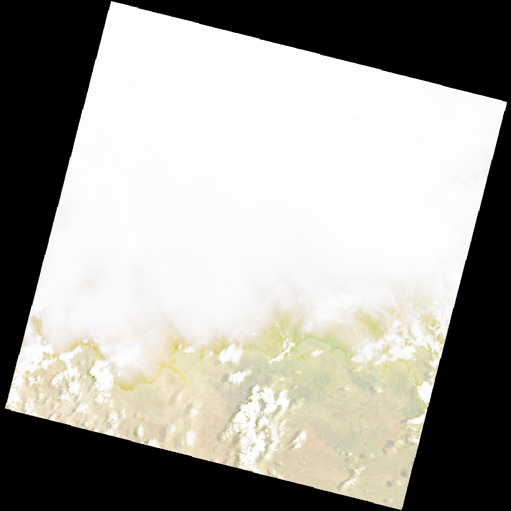
cloud_cover
82.44
collection_category
T1
creation_time
2021-12-27 08:16:34
crs_raw
•
data_coverage
•
dataset_version
•
eo_gsd
•
eo_sun_azimuth
81.589
eo_sun_elevation
60.356
format
GeoTIFF
id
73435f53-f502-588c-9f9b-649f2086c0fe
instrument
OLI_TIRS
label
•
lat
-32.792 to -30.695
lon
22.718 to 25.12
platform
LANDSAT_9
product_family
•
region
•
region_code
172082
rmse
9.242
rmse_x
6.034
rmse_y
7.001
sat_orbit_state
•
sat_relative_orbit
•
time
2021-12-27 08:16:34 to 2021-12-27 08:16:34
Related Datasets 🔗
LC09_L2SP_172082_20211227_20230503_02_T1_SR_stac