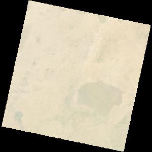
LC09_L2SP_187053_20211204_20230504_02_T1_SR_stac
dataset of product ls9_sr
Indexed by odc_writer
,
created
Region
187053
for
4th December 2021
Fields 🔗
cloud_cover
0.12
collection_category
T1
creation_time
2021-12-04 09:37:49
crs_raw
•
data_coverage
•
dataset_version
•
eo_gsd
•
eo_sun_azimuth
145.429
eo_sun_elevation
50.558
format
GeoTIFF
id
72d4ae37-df36-5ae6-aebd-00b95d6da796
instrument
OLI_TIRS
label
•
lat
9.073 to 11.162
lon
9.156 to 11.192
platform
LANDSAT_9
product_family
•
region
•
region_code
187053
rmse
6.709
rmse_x
4.905
rmse_y
4.577
sat_orbit_state
•
sat_relative_orbit
•
time
2021-12-04 09:37:49 to 2021-12-04 09:37:49
Related Datasets 🔗
LC09_L2SP_187053_20211204_20230504_02_T1_SR_stac