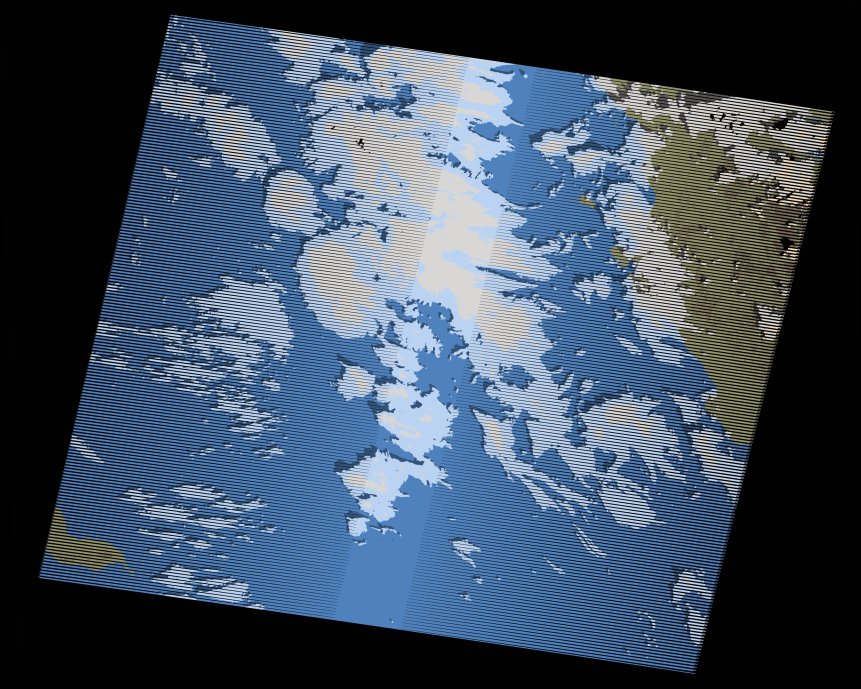
wofs_ls_172043_2018-09-30.stac-item
dataset of product wofs_ls
Indexed by odc_writer
,
created
Region
172043
for
30th September 2018
Fields 🔗
cloud_cover
33.0
collection_category
T1
creation_time
2021-09-01 02:20:38
crs_raw
•
data_coverage
•
dataset_version
1.0.0
eo_gsd
30.0
eo_sun_azimuth
139.962
eo_sun_elevation
55.69
format
GeoTIFF
id
71dbb690-31f1-5c2c-aa27-f954ae43eaeb
instrument
ETM
label
•
lat
23.617 to 25.502
lon
35.521 to 37.799
platform
landsat-7
product_family
wofs
region
•
region_code
172043
rmse
3.957
rmse_x
2.656
rmse_y
2.933
sat_orbit_state
•
sat_relative_orbit
•
time
2018-09-30 07:58:17 to 2018-09-30 07:58:17
Related Datasets 🔗
wofs_ls_172043_2018-09-30.stac-item