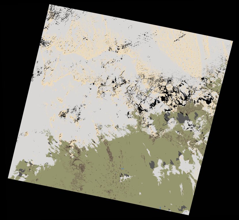
wofs_ls_192042_2021-01-13.stac-item
dataset of product wofs_ls
Indexed by odc_writer
,
created
Region
192042
for
13th January 2021
Fields 🔗
cloud_cover
56.65
collection_category
T1
creation_time
2021-08-31 23:23:48
crs_raw
•
data_coverage
•
dataset_version
1.0.0
eo_gsd
30.0
eo_sun_azimuth
150.568
eo_sun_elevation
36.756
format
GeoTIFF
id
71c8a187-952e-5536-85a3-8335286503e6
instrument
OLI_TIRS
label
•
lat
24.941 to 27.036
lon
5.018 to 7.255
platform
landsat-8
product_family
wofs
region
•
region_code
192042
rmse
5.468
rmse_x
3.747
rmse_y
3.983
sat_orbit_state
•
sat_relative_orbit
•
time
2021-01-13 10:04:07 to 2021-01-13 10:04:07
Related Datasets 🔗
wofs_ls_192042_2021-01-13.stac-item