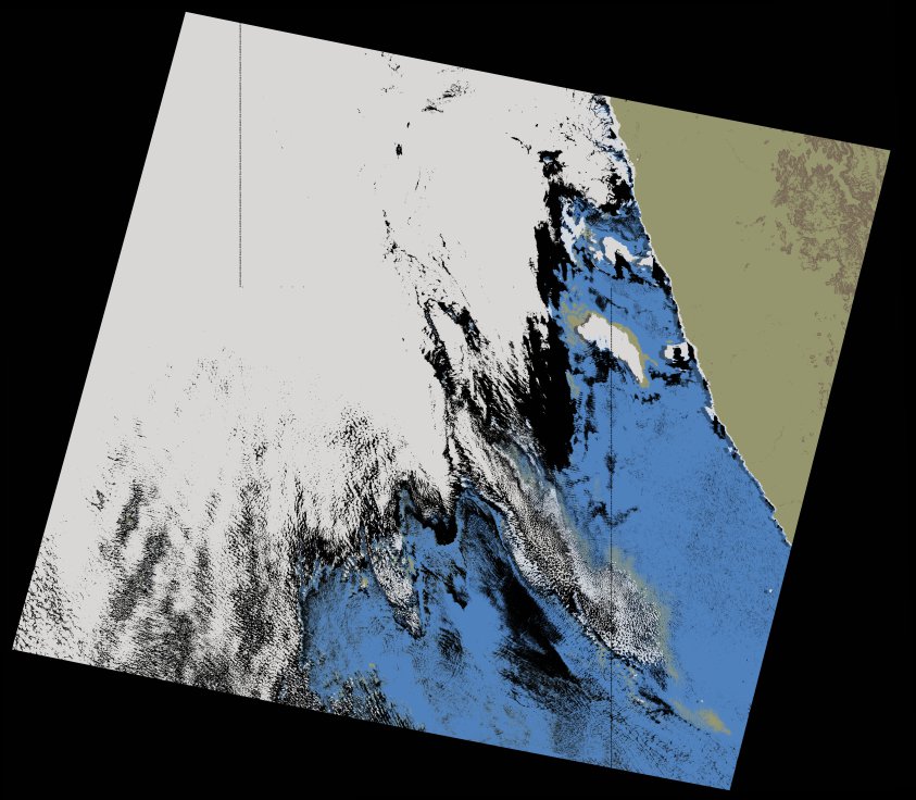
wofs_ls_177081_2022-01-31.stac-item
dataset of product wofs_ls
Indexed by odc_writer
,
created
Region
177081
for
31st January 2022
Fields 🔗
cloud_cover
53.25
collection_category
T1
creation_time
2023-04-29 23:39:58
crs_raw
•
data_coverage
•
dataset_version
1.0.0
eo_gsd
30.0
eo_sun_azimuth
75.94
eo_sun_elevation
55.634
format
GeoTIFF
id
6f37decf-4b1d-5ce6-b85d-03c7feb9ef53
instrument
OLI_TIRS
label
•
lat
-31.355 to -29.26
lon
15.385 to 17.752
platform
landsat-9
product_family
wofs
region
•
region_code
177081
rmse
5.012
rmse_x
2.519
rmse_y
4.333
sat_orbit_state
•
sat_relative_orbit
•
time
2022-01-31 08:47:03 to 2022-01-31 08:47:03
Related Datasets 🔗
wofs_ls_177081_2022-01-31.stac-item