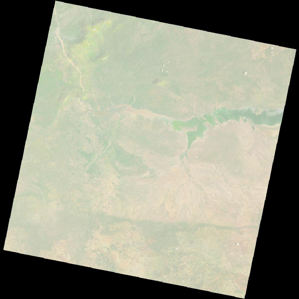
LC09_L2SP_170071_20211229_20230503_02_T1_SR_stac
dataset of product ls9_sr
Indexed by odc_writer
,
created
Region
170071
for
29th December 2021
Fields 🔗
cloud_cover
2.06
collection_category
T1
creation_time
2021-12-29 07:59:49
crs_raw
•
data_coverage
•
dataset_version
•
eo_gsd
•
eo_sun_azimuth
109.393
eo_sun_elevation
61.147
format
GeoTIFF
id
6b955988-f435-5f76-ac79-0d01bda428ea
instrument
OLI_TIRS
label
•
lat
-16.947 to -14.859
lon
29.813 to 31.91
platform
LANDSAT_9
product_family
•
region
•
region_code
170071
rmse
7.189
rmse_x
4.032
rmse_y
5.952
sat_orbit_state
•
sat_relative_orbit
•
time
2021-12-29 07:59:49 to 2021-12-29 07:59:49
Related Datasets 🔗
LC09_L2SP_170071_20211229_20230503_02_T1_SR_stac