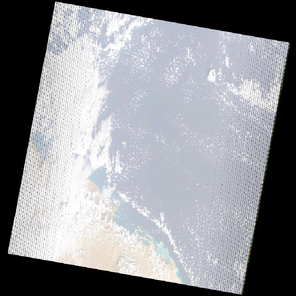
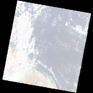
LE07_L2SP_170047_20201226_20210121_02_T1_SR_stac
dataset of product ls7_sr
Indexed by odc_writer
,
created
Region
170047
for
26th December 2020
Fields 🔗
cloud_cover
1.0
collection_category
T1
creation_time
2020-12-26 07:08:50
crs_raw
•
data_coverage
•
dataset_version
•
eo_gsd
•
eo_sun_azimuth
139.864
eo_sun_elevation
35.997
format
GeoTIFF
id
698bc589-8a63-5b43-bcb7-885303e53298
instrument
ETM
label
•
lat
17.864 to 19.732
lon
37.266 to 39.46
platform
LANDSAT_7
product_family
•
region
•
region_code
170047
rmse
4.377
rmse_x
2.793
rmse_y
3.37
sat_orbit_state
•
sat_relative_orbit
•
time
2020-12-26 07:08:50 to 2020-12-26 07:08:50
Related Datasets 🔗
LE07_L2SP_170047_20201226_20210121_02_T1_SR_stac