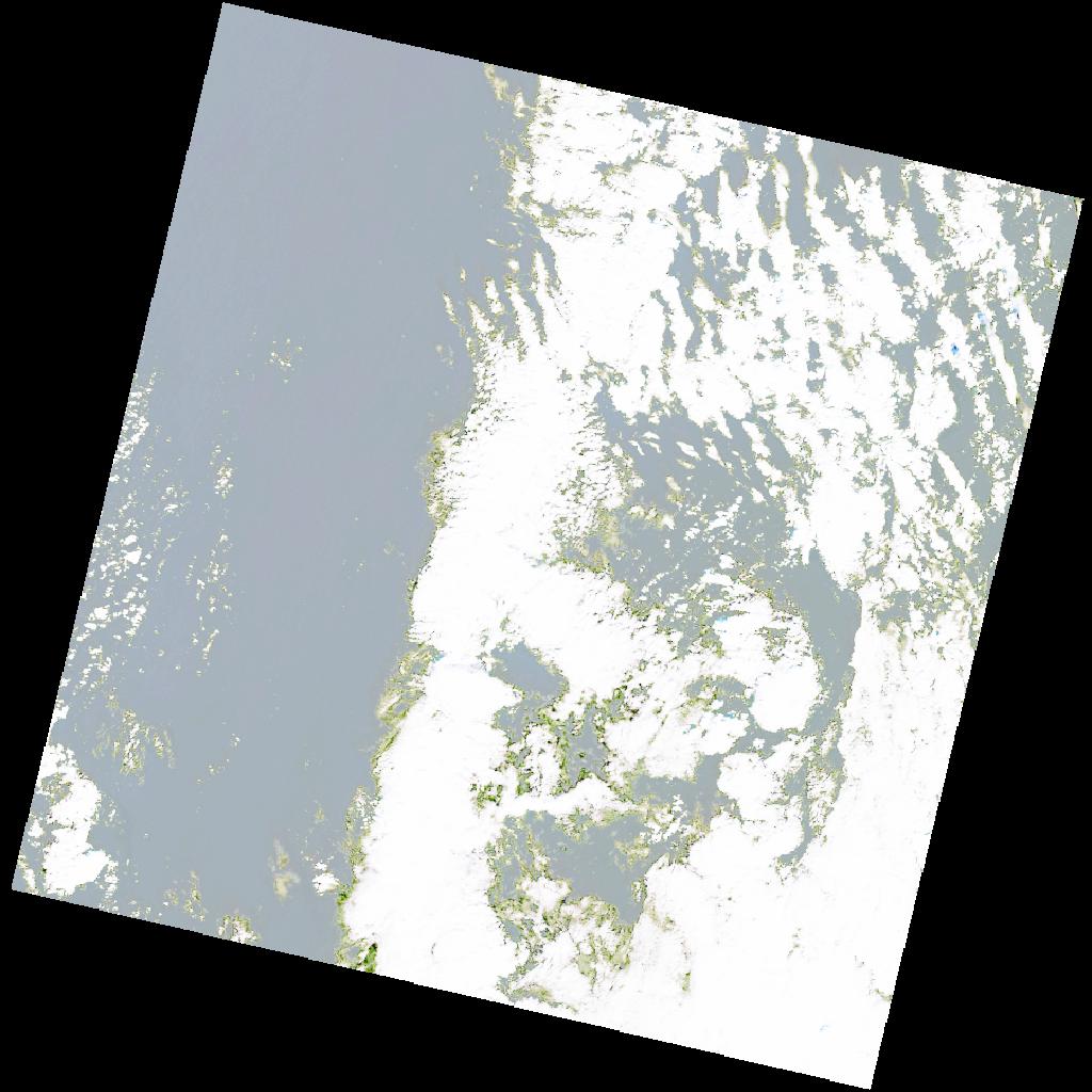
LC09_L2SP_184036_20211231_20220122_02_T2_SR_stac
dataset of product ls9_sr
Indexed by odc_writer
,
created
Region
184036
for
31st December 2021
Fields 🔗
cloud_cover
51.97
collection_category
T2
creation_time
2021-12-31 09:12:23
crs_raw
•
data_coverage
•
dataset_version
•
eo_gsd
•
eo_sun_azimuth
156.96
eo_sun_elevation
28.68
format
GeoTIFF
id
67095a03-694e-5ead-9d55-8d9451c67bd7
instrument
OLI_TIRS
label
•
lat
33.552 to 35.655
lon
19.518 to 21.987
platform
LANDSAT_9
product_family
•
region
•
region_code
184036
rmse
nan
rmse_x
nan
rmse_y
nan
sat_orbit_state
•
sat_relative_orbit
•
time
2021-12-31 09:12:23 to 2021-12-31 09:12:23
Related Datasets 🔗
LC09_L2SP_184036_20211231_20220122_02_T2_SR_stac