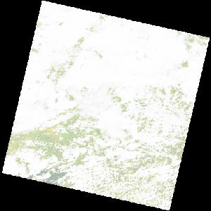
LC09_L2SP_171071_20221223_20230317_02_T2_SR_stac
dataset of product ls9_sr
Indexed by odc_writer
,
created
Region
171071
for
23rd December 2022
Fields 🔗
cloud_cover
90.87
collection_category
T2
creation_time
2022-12-23 08:06:06
crs_raw
•
data_coverage
•
dataset_version
•
eo_gsd
•
eo_sun_azimuth
110.114
eo_sun_elevation
61.838
format
GeoTIFF
id
6200a638-132d-5e29-aa21-54d5ee6ba7f9
instrument
OLI_TIRS
label
•
lat
-16.948 to -14.86
lon
28.278 to 30.376
platform
LANDSAT_9
product_family
•
region
•
region_code
171071
rmse
nan
rmse_x
nan
rmse_y
nan
sat_orbit_state
•
sat_relative_orbit
•
time
2022-12-23 08:06:06 to 2022-12-23 08:06:06
Related Datasets 🔗
LC09_L2SP_171071_20221223_20230317_02_T2_SR_stac