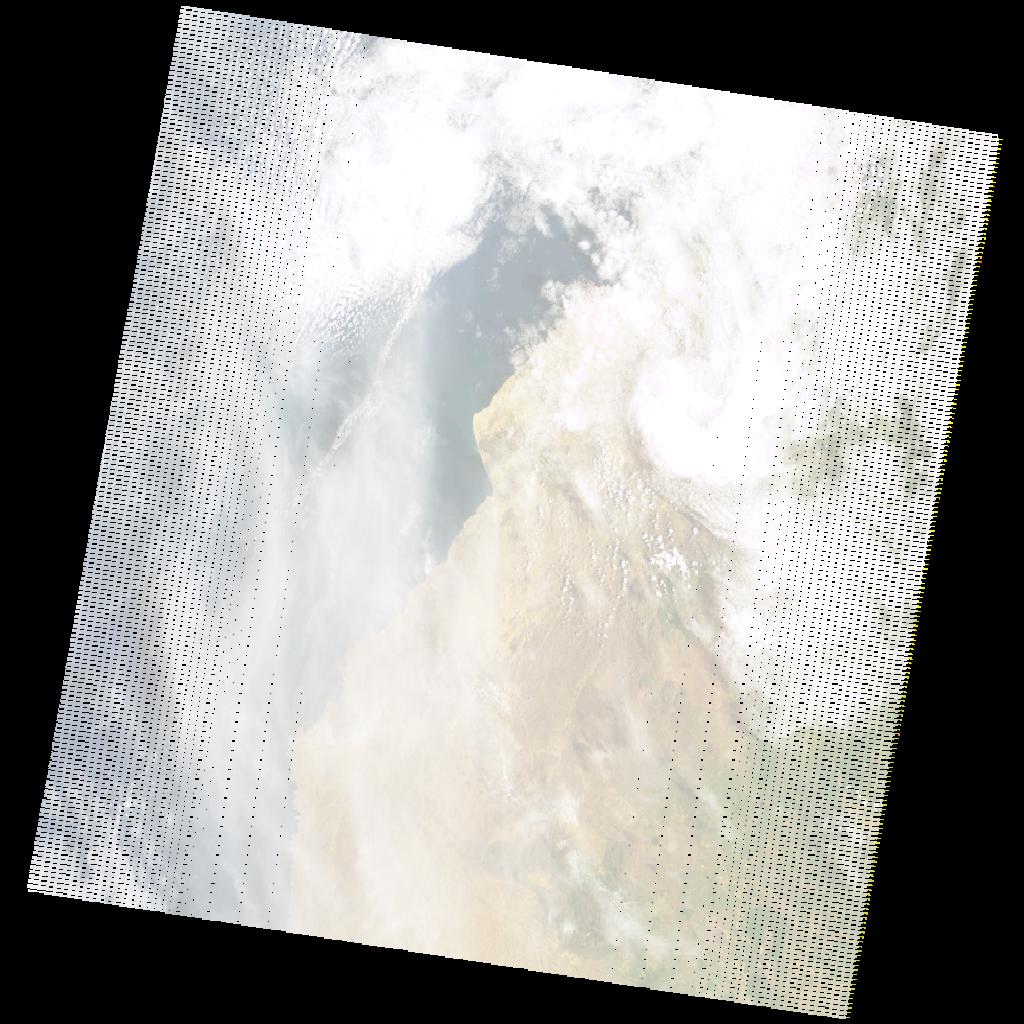
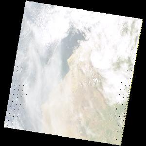
LE07_L2SP_182069_20211201_20211228_02_T1_SR_stac
dataset of product ls7_sr
Indexed by odc_writer
,
created
Region
182069
for
1st December 2021
Fields 🔗
cloud_cover
60.0
collection_category
T1
creation_time
2021-12-01 08:03:15
crs_raw
•
data_coverage
•
dataset_version
•
eo_gsd
•
eo_sun_azimuth
108.276
eo_sun_elevation
47.787
format
GeoTIFF
id
5ec2091b-e165-57b0-bca8-029a6c124990
instrument
ETM
label
•
lat
-13.942 to -12.083
lon
11.958 to 14.095
platform
LANDSAT_7
product_family
•
region
•
region_code
182069
rmse
4.453
rmse_x
3.036
rmse_y
3.258
sat_orbit_state
•
sat_relative_orbit
•
time
2021-12-01 08:03:15 to 2021-12-01 08:03:15
Related Datasets 🔗
LE07_L2SP_182069_20211201_20211228_02_T1_SR_stac