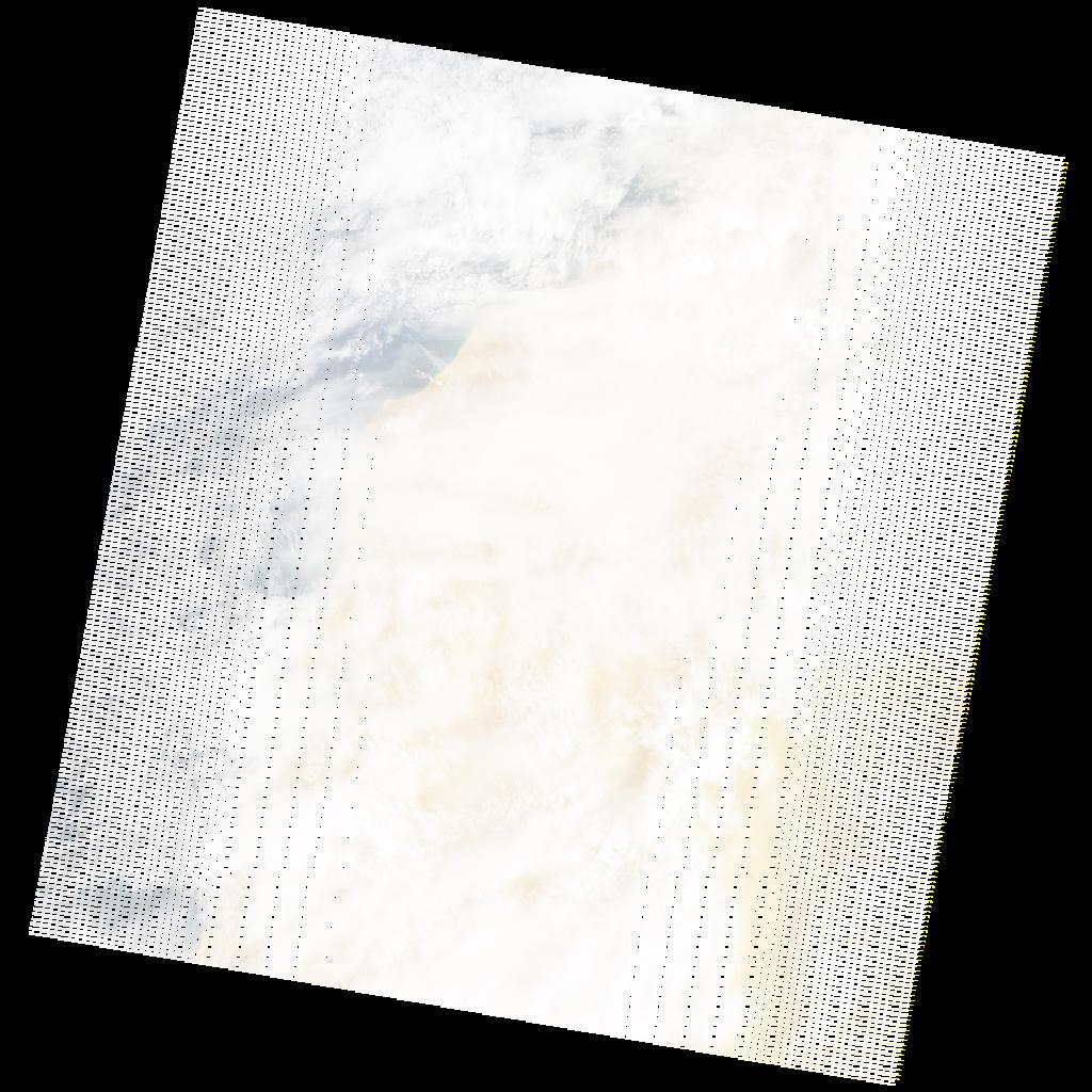
LE07_L2SP_205042_20210913_20211009_02_T2_SR_stac
dataset of product ls7_sr
Indexed by odc_writer
,
created
Region
205042
for
13th September 2021
Fields 🔗
cloud_cover
88.0
collection_category
T2
creation_time
2021-09-13 10:21:53
crs_raw
•
data_coverage
•
dataset_version
•
eo_gsd
•
eo_sun_azimuth
115.507
eo_sun_elevation
47.64
format
GeoTIFF
id
5d965abf-d76d-528f-821c-456ca85730af
instrument
ETM
label
•
lat
25.065 to 26.95
lon
-15.194 to -12.877
platform
LANDSAT_7
product_family
•
region
•
region_code
205042
rmse
nan
rmse_x
nan
rmse_y
nan
sat_orbit_state
•
sat_relative_orbit
•
time
2021-09-13 10:21:53 to 2021-09-13 10:21:53
Related Datasets 🔗
LE07_L2SP_205042_20210913_20211009_02_T2_SR_stac