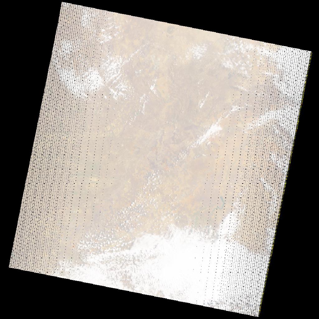
LE07_L2SP_170077_20211010_20211105_02_T1_SR_stac
dataset of product ls7_sr
Indexed by odc_writer
,
created
Region
170077
for
10th October 2021
Fields 🔗
cloud_cover
22.0
collection_category
T1
creation_time
2021-10-10 06:57:09
crs_raw
•
data_coverage
•
dataset_version
•
eo_gsd
•
eo_sun_azimuth
74.276
eo_sun_elevation
44.741
format
GeoTIFF
id
5d4df0b2-daa8-5d41-9cd9-65a75629c129
instrument
ETM
label
•
lat
-25.5 to -23.619
lon
27.795 to 30.099
platform
LANDSAT_7
product_family
•
region
•
region_code
170077
rmse
4.804
rmse_x
3.29
rmse_y
3.501
sat_orbit_state
•
sat_relative_orbit
•
time
2021-10-10 06:57:09 to 2021-10-10 06:57:09
Related Datasets 🔗
LE07_L2SP_170077_20211010_20211105_02_T1_SR_stac