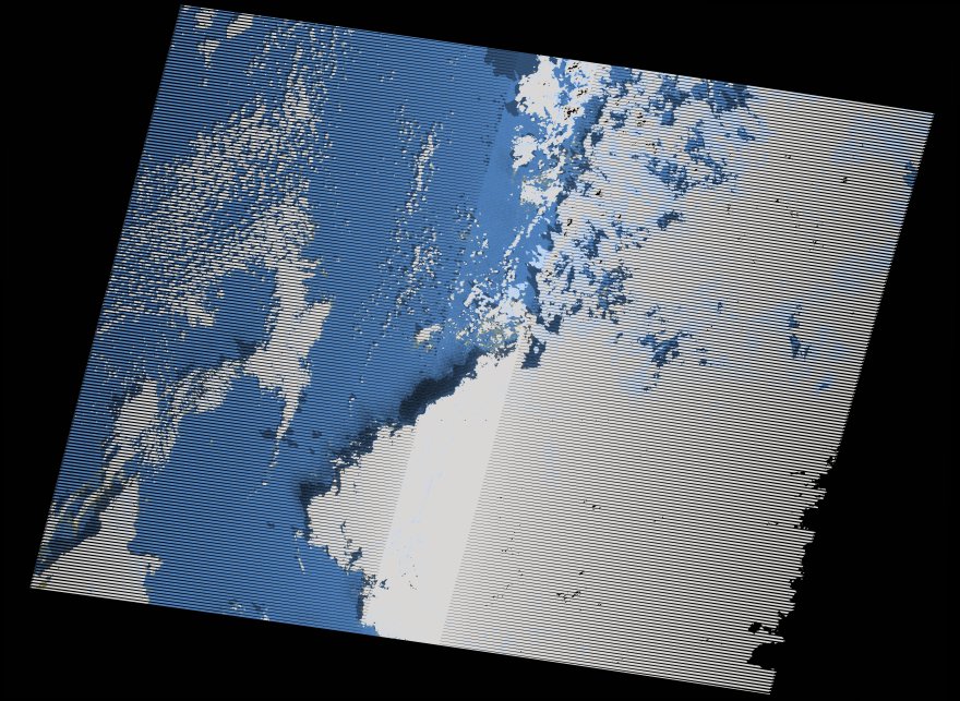
wofs_ls_187037_2021-01-02.stac-item
dataset of product wofs_ls
Indexed by odc_writer
,
created
Region
187037
for
2nd January 2021
Fields 🔗
cloud_cover
54.0
collection_category
T2
creation_time
2022-05-25 22:00:30
crs_raw
•
data_coverage
•
dataset_version
1.0.0
eo_gsd
30.0
eo_sun_azimuth
146.111
eo_sun_elevation
25.687
format
GeoTIFF
id
5bdc365e-db8f-5c12-8250-a105f2786b75
instrument
ETM
label
•
lat
32.243 to 34.145
lon
14.373 to 16.874
platform
landsat-7
product_family
wofs
region
•
region_code
187037
rmse
nan
rmse_x
nan
rmse_y
nan
sat_orbit_state
•
sat_relative_orbit
•
time
2021-01-02 08:49:26 to 2021-01-02 08:49:26
Related Datasets 🔗
wofs_ls_187037_2021-01-02.stac-item