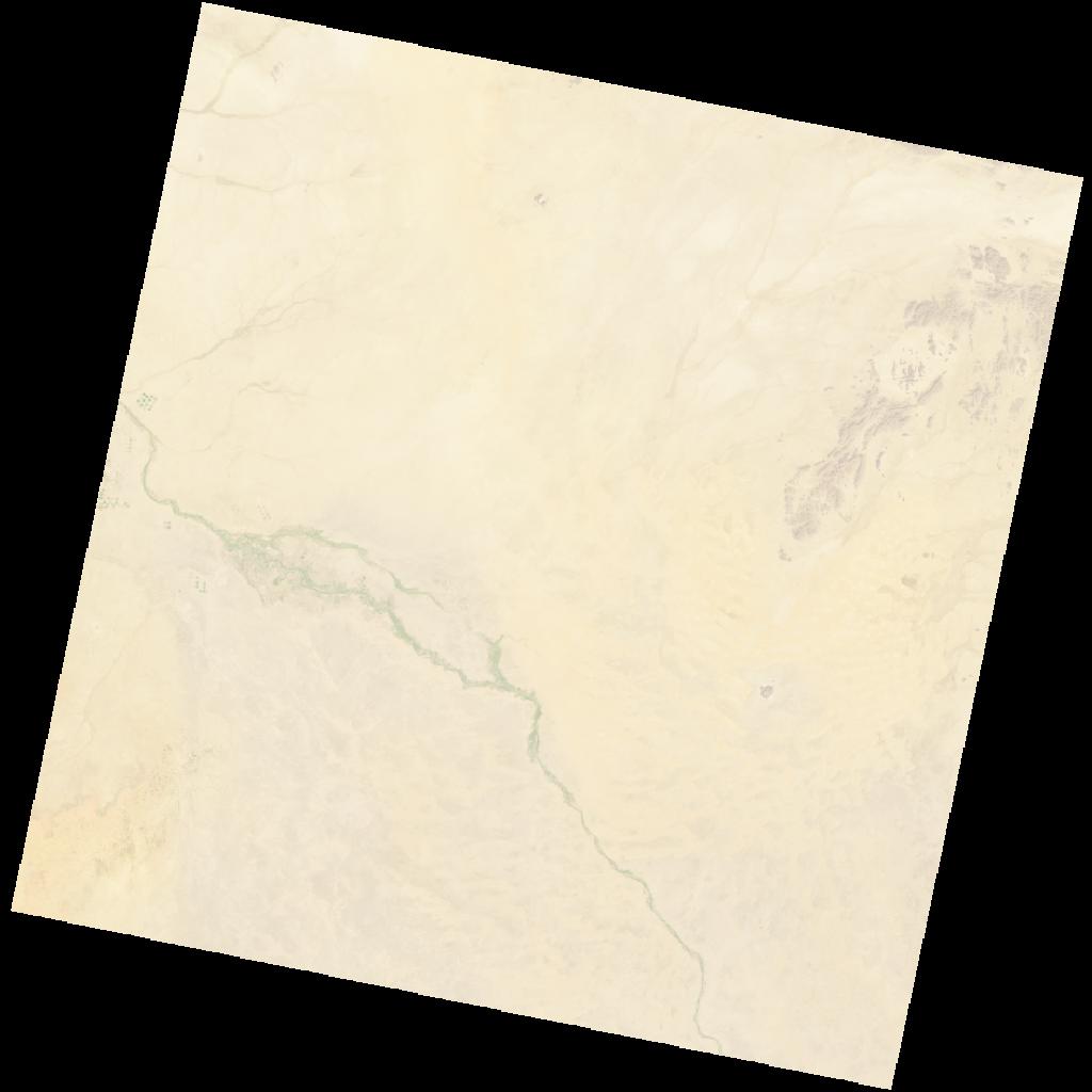
LC09_L2SP_172048_20211227_20230503_02_T1_SR_stac
dataset of product ls9_sr
Indexed by odc_writer
,
created
Region
172048
for
27th December 2021
Fields 🔗
cloud_cover
0.03
collection_category
T1
creation_time
2021-12-27 08:03:01
crs_raw
•
data_coverage
•
dataset_version
•
eo_gsd
•
eo_sun_azimuth
148.684
eo_sun_elevation
42.802
format
GeoTIFF
id
592140e5-a82d-5cbb-a9c1-1619dee1c527
instrument
OLI_TIRS
label
•
lat
16.294 to 18.384
lon
33.925 to 36.03
platform
LANDSAT_9
product_family
•
region
•
region_code
172048
rmse
6.568
rmse_x
4.374
rmse_y
4.9
sat_orbit_state
•
sat_relative_orbit
•
time
2021-12-27 08:03:01 to 2021-12-27 08:03:01
Related Datasets 🔗
LC09_L2SP_172048_20211227_20230503_02_T1_SR_stac