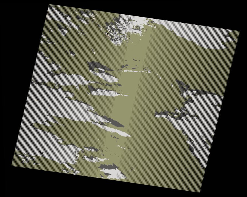
wofs_ls_203043_2019-12-15.stac-item
dataset of product wofs_ls
Indexed by odc_writer
,
created
Region
203043
for
15th December 2019
Fields 🔗
cloud_cover
24.0
collection_category
T1
creation_time
2021-09-01 05:10:20
crs_raw
•
data_coverage
•
dataset_version
1.0.0
eo_gsd
30.0
eo_sun_azimuth
149.674
eo_sun_elevation
35.713
format
GeoTIFF
id
591bc6ae-3d49-5e5a-8cd1-c8050dadee8a
instrument
ETM
label
•
lat
23.622 to 25.498
lon
-12.414 to -10.13
platform
landsat-7
product_family
wofs
region
•
region_code
203043
rmse
4.544
rmse_x
3.26
rmse_y
3.165
sat_orbit_state
•
sat_relative_orbit
•
time
2019-12-15 10:54:04 to 2019-12-15 10:54:04
Related Datasets 🔗
wofs_ls_203043_2019-12-15.stac-item