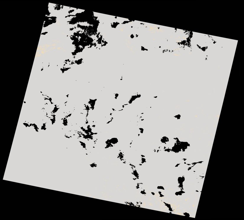
wofs_ls_170079_2021-12-13.stac-item
dataset of product wofs_ls
Indexed by odc_writer
,
created
Region
170079
for
13th December 2021
Fields 🔗
cloud_cover
99.97
collection_category
T2
creation_time
2022-02-14 23:26:57
crs_raw
•
data_coverage
•
dataset_version
1.0.0
eo_gsd
30.0
eo_sun_azimuth
87.622
eo_sun_elevation
62.917
format
GeoTIFF
id
58bf2234-720f-5d1c-a1c4-1fb6f3d803d0
instrument
OLI_TIRS
label
•
lat
-28.479 to -26.386
lon
26.982 to 29.272
platform
landsat-9
product_family
wofs
region
•
region_code
170079
rmse
nan
rmse_x
nan
rmse_y
nan
sat_orbit_state
•
sat_relative_orbit
•
time
2021-12-13 08:03:02 to 2021-12-13 08:03:02
Related Datasets 🔗
wofs_ls_170079_2021-12-13.stac-item