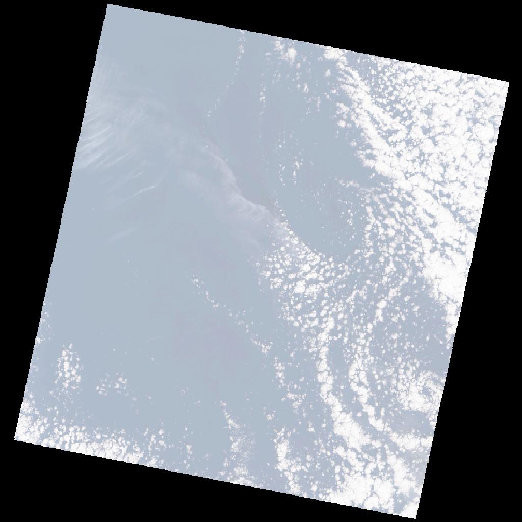
LE07_L2SP_180037_20030116_20200916_02_T2_SR_stac
dataset of product ls7_sr
Indexed by odc_writer
,
created
Region
180037
for
16th January 2003
Fields 🔗
cloud_cover
20.0
collection_category
T2
creation_time
2003-01-16 08:36:13
crs_raw
•
data_coverage
•
dataset_version
•
eo_gsd
•
eo_sun_azimuth
150.83
eo_sun_elevation
30.081
format
GeoTIFF
id
52edda46-80eb-5051-9560-ed6c498b41c3
instrument
ETM
label
•
lat
32.227 to 34.136
lon
25.333 to 27.736
platform
LANDSAT_7
product_family
•
region
•
region_code
180037
rmse
nan
rmse_x
nan
rmse_y
nan
sat_orbit_state
•
sat_relative_orbit
•
time
2003-01-16 08:36:13 to 2003-01-16 08:36:13
Related Datasets 🔗
LE07_L2SP_180037_20030116_20200916_02_T2_SR_stac