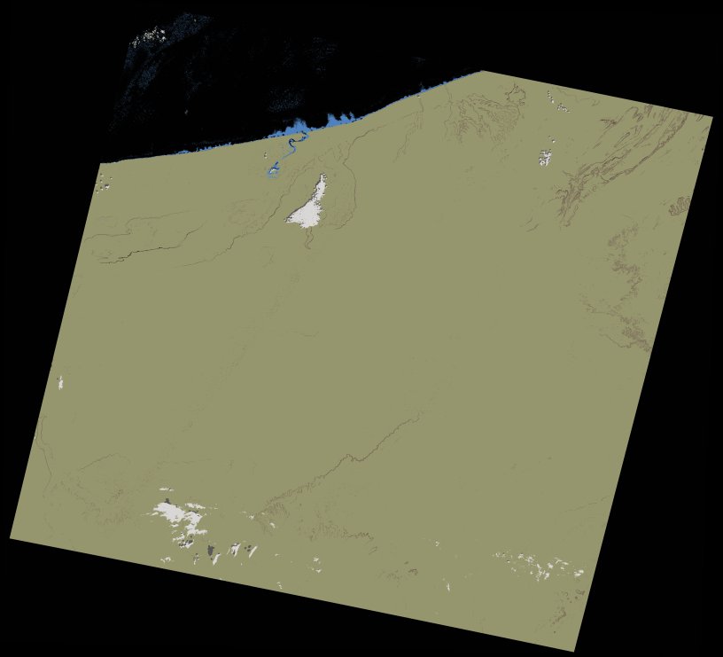
wofs_ls_204041_2022-01-12.stac-item
dataset of product wofs_ls
Indexed by odc_writer
,
created
Region
204041
for
12th January 2022
Fields 🔗
cloud_cover
10.0
collection_category
T1
creation_time
2022-02-07 12:11:45
crs_raw
•
data_coverage
•
dataset_version
1.0.0
eo_gsd
30.0
eo_sun_azimuth
135.099
eo_sun_elevation
25.556
format
GeoTIFF
id
52261f40-35ef-5600-a60b-ad0b2237b155
instrument
ETM
label
•
lat
26.511 to 28.389
lon
-13.318 to -10.971
platform
landsat-7
product_family
wofs
region
•
region_code
204041
rmse
4.168
rmse_x
2.627
rmse_y
3.236
sat_orbit_state
•
sat_relative_orbit
•
time
2022-01-12 10:03:58 to 2022-01-12 10:03:58
Related Datasets 🔗
wofs_ls_204041_2022-01-12.stac-item
... 3 more