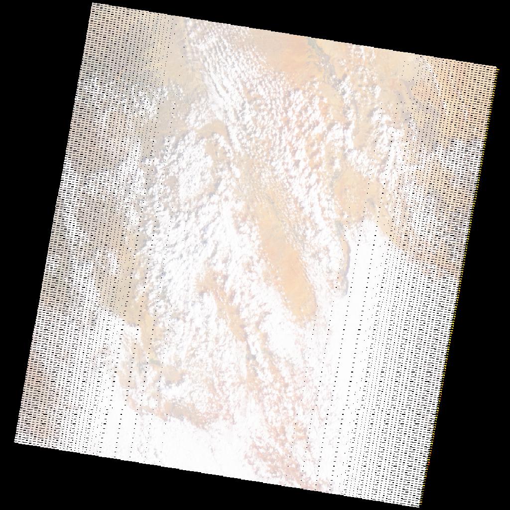
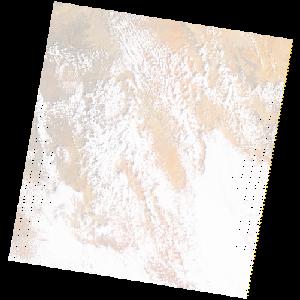
LE07_L2SP_166057_20221211_20230106_02_T1_SR_stac
dataset of product ls7_sr
Indexed by odc_writer
,
created
Region
166057
for
11th December 2022
Fields 🔗
cloud_cover
52.0
collection_category
T1
creation_time
2022-12-11 05:41:43
crs_raw
•
data_coverage
•
dataset_version
•
eo_gsd
•
eo_sun_azimuth
121.138
eo_sun_elevation
33.1
format
GeoTIFF
id
51274c32-0552-58db-8d49-c1e59fefea1a
instrument
ETM
label
•
lat
3.415 to 5.279
lon
40.657 to 42.719
platform
LANDSAT_7
product_family
•
region
•
region_code
166057
rmse
4.706
rmse_x
2.618
rmse_y
3.911
sat_orbit_state
•
sat_relative_orbit
•
time
2022-12-11 05:41:43 to 2022-12-11 05:41:43
Related Datasets 🔗
LE07_L2SP_166057_20221211_20230106_02_T1_SR_stac