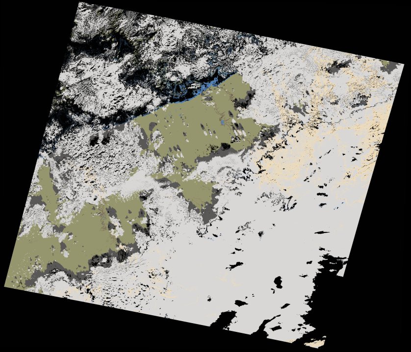
wofs_ls_202037_2021-11-19.stac-item
dataset of product wofs_ls
Indexed by odc_writer
,
created
Region
202037
for
19th November 2021
Fields 🔗
cloud_cover
64.96
collection_category
T1
creation_time
2021-11-25 16:34:53
crs_raw
•
data_coverage
•
dataset_version
1.0.0
eo_gsd
30.0
eo_sun_azimuth
159.543
eo_sun_elevation
34.594
format
GeoTIFF
id
4ff0f66e-16c9-5b09-94e6-90cce642b132
instrument
OLI_TIRS
label
•
lat
32.12 to 34.222
lon
-8.651 to -6.233
platform
landsat-8
product_family
wofs
region
•
region_code
202037
rmse
8.956
rmse_x
6.227
rmse_y
6.437
sat_orbit_state
•
sat_relative_orbit
•
time
2021-11-19 11:04:05 to 2021-11-19 11:04:05
Related Datasets 🔗
wofs_ls_202037_2021-11-19.stac-item