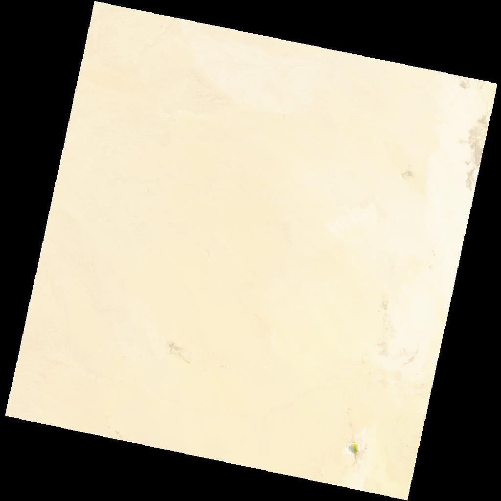
LC09_L2SP_194037_20211221_20230504_02_T1_SR_stac
dataset of product ls9_sr
Indexed by odc_writer
,
created
Region
194037
for
21st December 2021
Fields 🔗
cloud_cover
0.02
collection_category
T1
creation_time
2021-12-21 10:14:35
crs_raw
•
data_coverage
•
dataset_version
•
eo_gsd
•
eo_sun_azimuth
157.71
eo_sun_elevation
29.953
format
GeoTIFF
id
4d88651b-7335-507c-baf5-d03cfa87d508
instrument
OLI_TIRS
label
•
lat
32.119 to 34.22
lon
3.691 to 6.115
platform
LANDSAT_9
product_family
•
region
•
region_code
194037
rmse
6.933
rmse_x
4.044
rmse_y
5.631
sat_orbit_state
•
sat_relative_orbit
•
time
2021-12-21 10:14:35 to 2021-12-21 10:14:35
Related Datasets 🔗
LC09_L2SP_194037_20211221_20230504_02_T1_SR_stac