Fields 🔗
cloud_cover
6.0
collection_category
T1
creation_time
2022-01-21 02:08:06
crs_raw
•
data_coverage
•
dataset_version
1.1.0
eo_gsd
30.0
eo_sun_azimuth
141.21
eo_sun_elevation
52.351
format
GeoTIFF
id
4a4a31c7-5d28-5bcd-8853-d05c2d119bf5
instrument
ETM
label
•
lat
29.363 to 31.257
lon
6.031 to 8.352
platform
landsat-7
product_family
fc
region
•
region_code
192039
rmse
3.946
rmse_x
2.597
rmse_y
2.971
sat_orbit_state
•
sat_relative_orbit
•
time
2000-09-24 09:53:11 to 2000-09-24 09:53:11
Related Datasets 🔗
Location 🔗
s3://deafrica-services/fc_ls/1-1-0/192/039/2000/09/24/fc_ls_192039_2000-09-24.stac-item.json
| bs | fc_ls_192039_2000-09-24_bs.tif |
|---|---|
| checksum:sha1 | fc_ls_192039_2000-09-24.sha1 |
| metadata:processor | fc_ls_192039_2000-09-24.proc-info.yaml |
| npv | fc_ls_192039_2000-09-24_npv.tif |
| pv | fc_ls_192039_2000-09-24_pv.tif |
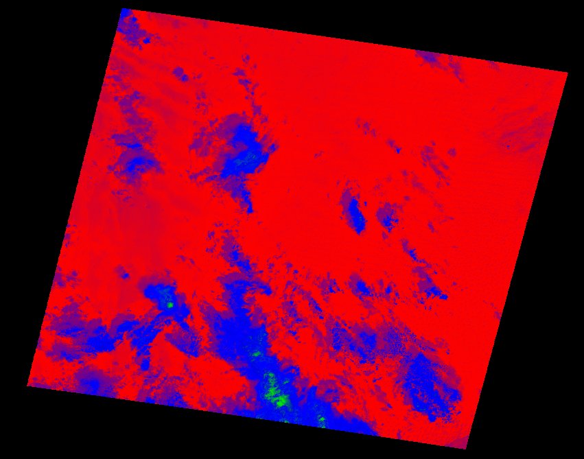
| thumbnail | fc_ls_192039_2000-09-24_thumbnail.jpg |
| ue | fc_ls_192039_2000-09-24_ue.tif |