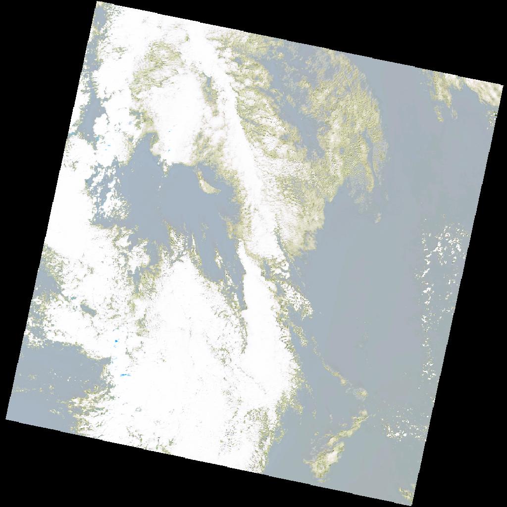
LC09_L2SP_191033_20211216_20230504_02_T2_SR_stac
dataset of product ls9_sr
Indexed by odc_writer
,
created
Region
191033
for
16th December 2021
Fields 🔗
cloud_cover
31.75
collection_category
T2
creation_time
2021-12-16 09:54:26
crs_raw
•
data_coverage
•
dataset_version
•
eo_gsd
•
eo_sun_azimuth
160.592
eo_sun_elevation
25.243
format
GeoTIFF
id
4a3de1eb-b311-5e8a-9e8d-59b380abfc67
instrument
OLI_TIRS
label
•
lat
37.842 to 39.951
lon
9.898 to 12.523
platform
LANDSAT_9
product_family
•
region
•
region_code
191033
rmse
nan
rmse_x
nan
rmse_y
nan
sat_orbit_state
•
sat_relative_orbit
•
time
2021-12-16 09:54:26 to 2021-12-16 09:54:26
Related Datasets 🔗
LC09_L2SP_191033_20211216_20230504_02_T2_SR_stac