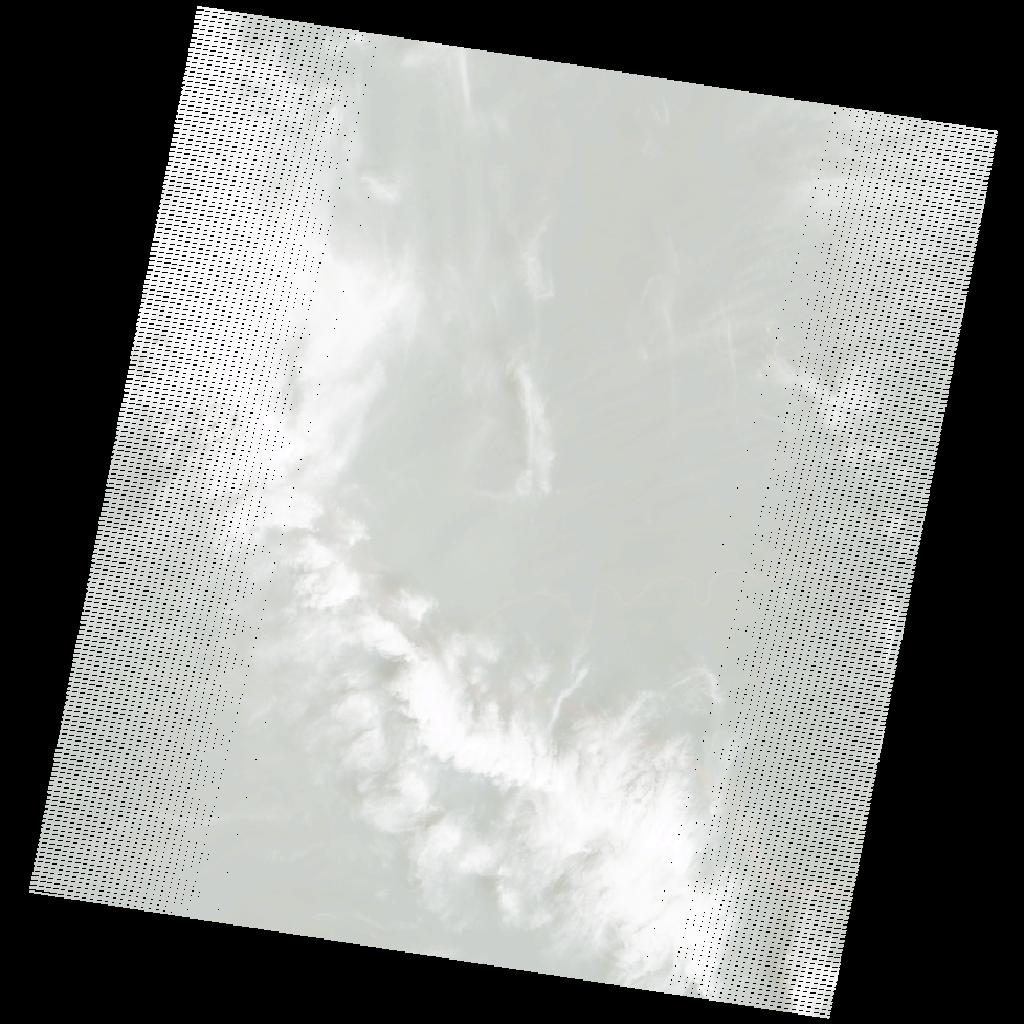
LE07_L2SP_177059_20041231_20200915_02_T1_SR_stac
dataset of product ls7_sr
Indexed by odc_writer
,
created
Region
177059
for
31st December 2004
Fields 🔗
cloud_cover
43.0
collection_category
T1
creation_time
2004-12-31 08:27:21
crs_raw
•
data_coverage
•
dataset_version
•
eo_gsd
•
eo_sun_azimuth
131.619
eo_sun_elevation
51.689
format
GeoTIFF
id
4945cdc3-06ea-584e-b89e-bc0010b78f6b
instrument
ETM
label
•
lat
0.512 to 2.386
lon
22.769 to 24.76
platform
LANDSAT_7
product_family
•
region
•
region_code
177059
rmse
4.435
rmse_x
2.992
rmse_y
3.274
sat_orbit_state
•
sat_relative_orbit
•
time
2004-12-31 08:27:21 to 2004-12-31 08:27:21
Related Datasets 🔗
LE07_L2SP_177059_20041231_20200915_02_T1_SR_stac