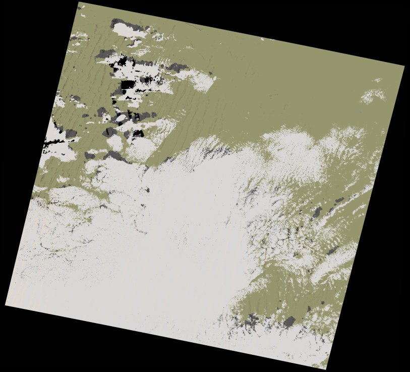
wofs_ls_197041_2022-01-27.stac-item
dataset of product wofs_ls
Indexed by odc_writer
,
created
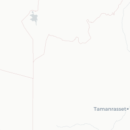
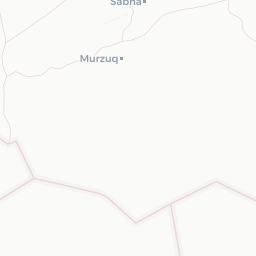
Region
197041
for
27th January 2022


Fields 🔗
cloud_cover
29.96
collection_category
T1
creation_time
2023-04-30 08:42:53
crs_raw
•
data_coverage
•
dataset_version
1.0.0
eo_gsd
30.0
eo_sun_azimuth
148.54
eo_sun_elevation
37.806
format
GeoTIFF
id
48b58dd6-a47e-55ce-84ed-28e44507fe10
instrument
OLI_TIRS
label
•
lat
26.377 to 28.472
lon
-2.394 to -0.118
platform
landsat-9
product_family
wofs
region
•
region_code
197041
rmse
7.55
rmse_x
6.147
rmse_y
4.383
sat_orbit_state
•
sat_relative_orbit
•
time
2022-01-27 10:34:43 to 2022-01-27 10:34:43
Related Datasets 🔗
wofs_ls_197041_2022-01-27.stac-item